As always, Google Earth is a visualization platform, though, so there's not as much benefit as you'd think for folk like us simmers. You could probably drop something into the sim as a 3D model, not too big otherwise you'll overload it, but really we already have the ability to use photogrammetry in MSFS, albeit with its own performance issues. And of course you can't distribute anything from GE.
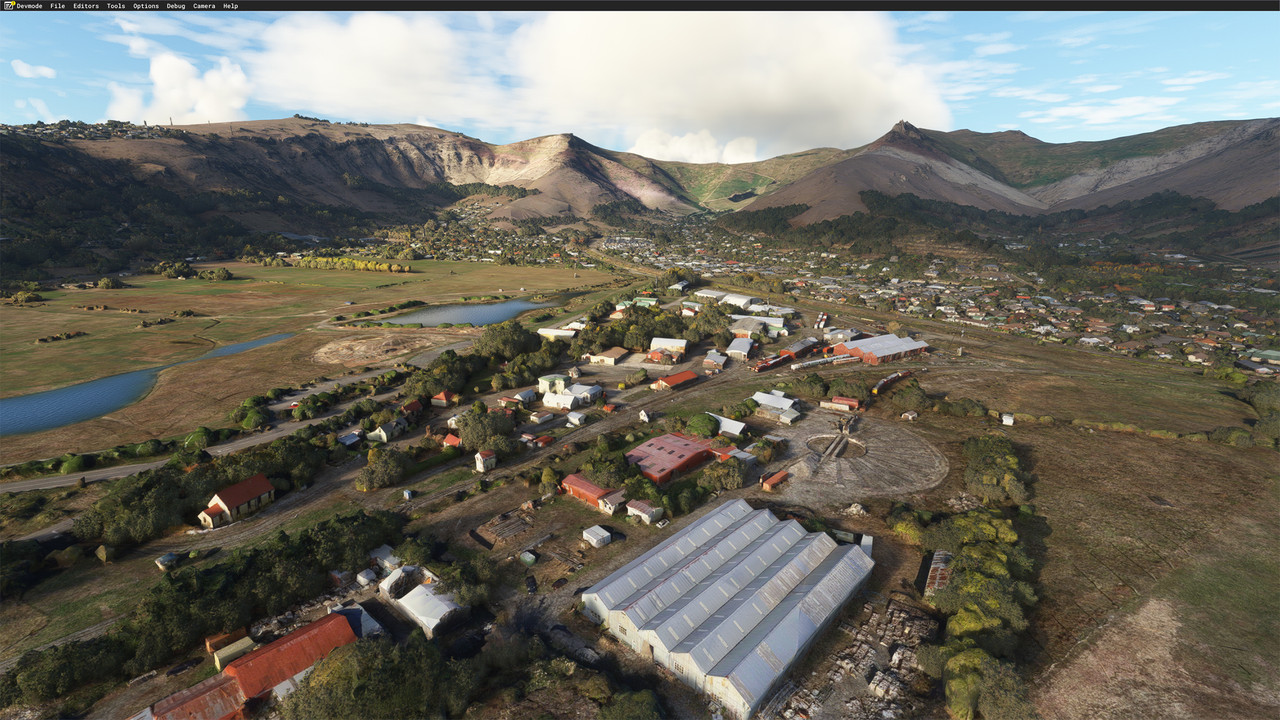
It does give us the idea of having this sort of access from Bing, though, since MS may be a bit more open to allowing their own data in MSFS. Photogrammetry in MSFS is great for large areas of actual scenery, but it does turn to custard when you get too close. Being able to enhance small areas with an actual solid 3d model would be great. Here's a screenshot of MSFS photogrammetry, This is Ferrymead railway museum, and I love the amount of detail from this distance, but you can't really get closer. Bing
Of course Google Earth photogrammetry may be more of a usable commodity in a few years, so there may be some exciting ways to use this.