Timmo wrote: You have to remember that 'Photo-realisitc' doesnt equate to 'photo-real'. By that i mean you can have the nicest looking, crisp photo realistic textures that dont relate at all to the real terrain you are flying over (i.e. If you flew over a local area it would look nice but you wouldnt have a clue where you were and wouldnt be able to navigate VFR particularly well- Features would be repeated every 10kms or so as the texture is repeated) In effect, the textures arent providing any information at all- they just look pretty (its the vector and terrain data that gives you the required info: hills, rivers, coastline, roads etc)
On the flipside, a photo-real texture (i.e. an aerial photo put into flightsim) can be of lowish quality but still give you the necessary information to navigate VFR. Landmarks such as lines of trees, orchards, rock outcrops etc are visible and in their correct place....if you fly over a certain feature twice you know you navigation leaves a lot to be desired

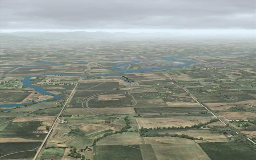
Why do we need FSX? Try flying in FS9 at anything under 500ft= blurry mess
I used the term carefully. You have forgotten the amazing RBE mesh/topo/landclass which with the right textures, can virtually match photoreal in some respects, and knock the spots off it in others.
By way of comparison, here's the line between Real NZ Auckland, and the "default" (but as modified per above, plus GE PRO). Same scenery but at different weather and time settings:
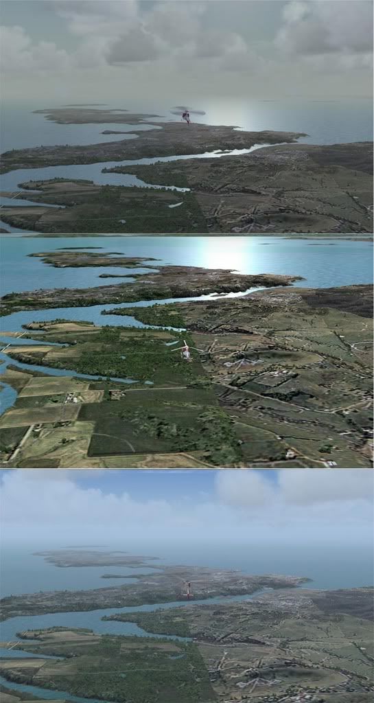
Christian has put real roads, rivers, telephone lines, and powerlines in especially for those wanting VFR navigation.
You can see the accuracy of this in the pictures, roads etc match pretty well across the join. (I'm not sure if this is laudable for Christian or for Robin's PR Auckland. Whatever, they're both pretty good)
With the right texture set and a good landclass, you do not get that "crop circle" repitition of the stock FS. That's what caught my eye in the original screenshot.
So what's the advantage of PR? Well, it's the only way you're gonna see your house!
Other than that, it has severe limitations, in that it is a "snapshot" and so not dynamic. Even if you do 4 seasonal renderings (which I believe is a great deal of work) there are cloudy days, clear days, rainy days, dawns, dusks, all of which demand different ground "looks" and these are infinitely variable with different texture sets, not available to the PR.
As to blurries - well PR actually only has a narrow band in which it looks good, a product of the original resolution. My own experience is the reverse of what you describe - at 500ft my PR scenery is all but useless, and the autogen features of GE PRO come alive!