How would you guys go about flying the Grand Traverse?
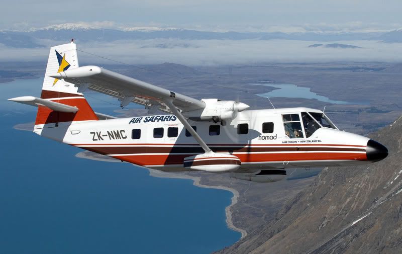
In 2002 we did with Air Safari's out of Lake Tekapo which does not appear in the sim. We flew up Lake Tekapo and the Godley River turned left and because of the weather at Mount Cook we could not fly the back route instead we did what is shown in these maps copied from my DVD.

We landed at Glentanner to drop off some tourists and then flew back to Lake Tekapo. Some grand views from the Cessna Stationaire 8 from here:
http://netleygrove.net/Photographic/glacie....html#highlight
There are not a lot of interesections in the sim so how would you find the Franz Josef Glacier on which we hiked. On their web page its co-ordinates are given as S43 28.0 E170 11.5 and in FS2004 thats quite easy to fly as Chuck Dome's co-ordinate GPS is available and a plan could be flown on co-ordinates until it was possible to use the normal intersections or airfields. In the views the Trislander is over the Franz Josef Glacier as a tourist might see it from seat A Row 2 in the cabin. My header view is from the 2nd dickie seat.

In FSX how would you do it out of Pukaki for example? Are you all using some other software planners that you can plot a flight on?
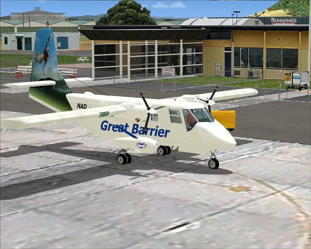
Air Safari's also ran a Nimrod N22 then but I do not seem to find this aircraft anywhere, certainly not in Air Safari paint. Just wondered if anyone knew/had one?
Cheers
 would be from the shackles in the bomb-bay of your Lancaster !