Pudding Hill Problem
 Posted: Tue Sep 29, 2026 8:35 pm
Pudding Hill Problem
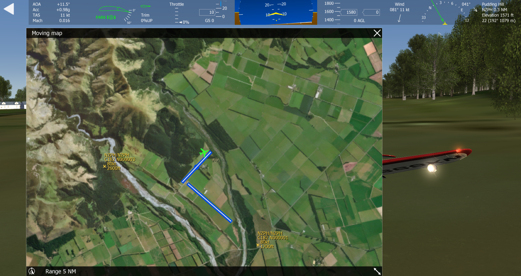
I am trying to create NZPH (as a base for the Loop), with only partial success. There seems to be a clash with another NZPH nearby. I am pretty sure it is from Krzysztof's World Airports, which were useful updates he made for AFS4. I installed all the NZ ones from that set, as AFS4 is pretty short on NZ stuff. I am very sure I have deleted it because I cannot find it on my PC, which has about 12TB of storage. Nor can I find it in the Steam folder, when I have AFS4 running.
Would some kind person who has AFS4 installed please look and see if they have a NZPH, and let me know where it is filed? It is a genuine airstrip and appears in the NZ AIP. The MovingMap pic shows me in a Corsair at the correct location.
I am trying to create NZPH (as a base for the Loop), with only partial success. There seems to be a clash with another NZPH nearby. I am pretty sure it is from Krzysztof's World Airports, which were useful updates he made for AFS4. I installed all the NZ ones from that set, as AFS4 is pretty short on NZ stuff. I am very sure I have deleted it because I cannot find it on my PC, which has about 12TB of storage. Nor can I find it in the Steam folder, when I have AFS4 running.
Would some kind person who has AFS4 installed please look and see if they have a NZPH, and let me know where it is filed? It is a genuine airstrip and appears in the NZ AIP. The MovingMap pic shows me in a Corsair at the correct location.