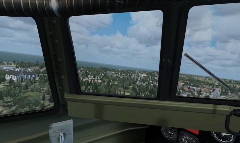
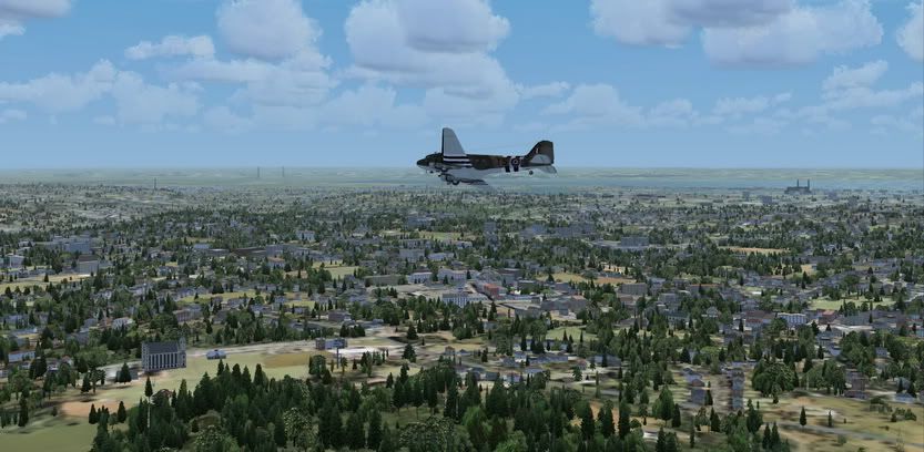
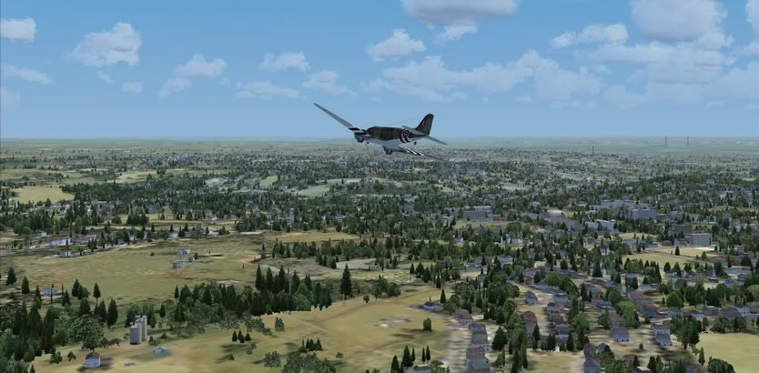
Got the other week but been too busy to fly. Took it for a quick spin with JF's C47 out of Le Havre - Octeville Airport LFOH to do some sight seeing.
1. I've been there and it looked pretty much as I recall it, dont have any VFR charts, but the road map seemed to relflect what I was seeing.
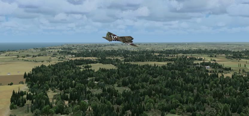
2. You will not see any of the beahes from Overloard (D-Day) as this Region is NE or Upper Normandy, not lower, but I'm sure there would have more than one or two RAF C-47s over Le Havre on 5-6 June
What the mannual says about it...
Ground textures from 0.85 to 1 meter / pixel resolution from IGN aerial photography
reworked for an optimal visual rendition in Flight Simulator X® (summer only).
• Dedicated mesh with high definition 4.75 meters (LOD13).
• Lakes and rivers with navigable waters fitting the texture.
• Transparency management of the seabed on the entire scene.
• Semi-detailed airports including flatten platform correction.
• Obstacles and VFR landmarks modeled on the entire scene including the official SIA database
(antennas, towers, water towers, wind turbines, various constructions ...).
• Hundreds of thousands of objects and notable buildings integrated into the environment
(churches, power plants, silos, castles, industrial tanks, bridges, tolls, cranes, boats,
streetlights, road signs ...).
• Integration of 3D Automation® technology allowing multi-million buildings and realistic
vegetation areas fitting geographic specs.
• Extremely dense and optimized vegetation coverage using a custom rendering module
controlled by artificial intelligence (AI).
• Autogen buildings including additional specific and optimized 3D variations.
• Geo-referenced data for maximum compatibility with future add-ons installed on the same
area.
• Development process 100% Microsoft ® SDK specifications compliant, ensuring maximum
compatibility with new releases.[/quote]
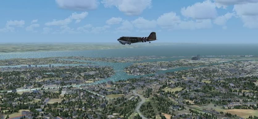
Pont de Normandie
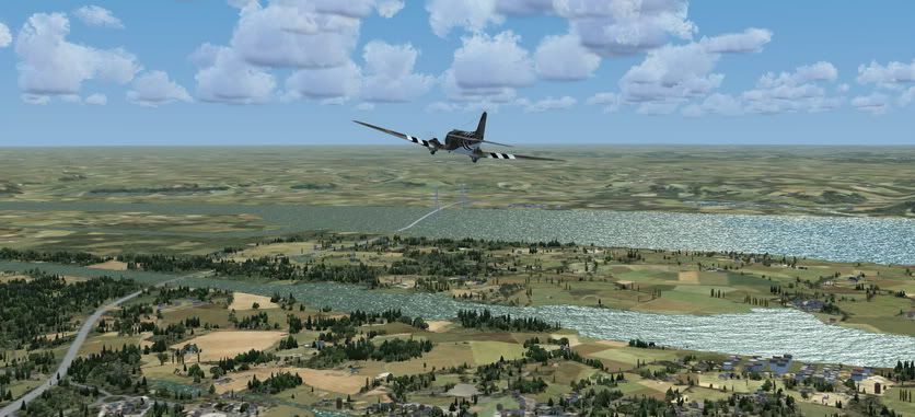
Note I haven't got my settings at recomended settings they are quite a bit lower so LOD doesn't look as good as it could


