
Posted:
Tue Jan 25, 2011 9:04 pmby Splitpin
Amazing work Ant.....gee, this place is alive with talent....clever buggers.

Posted:
Tue Jan 25, 2011 9:08 pmby Ian Warren
Ant D , how many small area coverages , small towns example , only covering the main roads in and out but in-compass the layout off each town in a effort to cut splice and build onto VLC , autogen to suit and snap ,perfect urban small town .
Posted:
Tue Jan 25, 2011 9:41 pmby antdavison
Ian Warren wrote:Ant D , how many small area coverages , small towns example , only covering the main roads in and out but in-compass the layout off each town in a effort to cut splice and build onto VLC , autogen to suit and snap ,perfect urban small town .
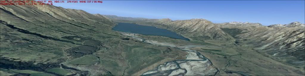
not sure i fully understand your question ... do you want some data of a generic small town, along a state highway somewhere ... i have the whole country as one dataset
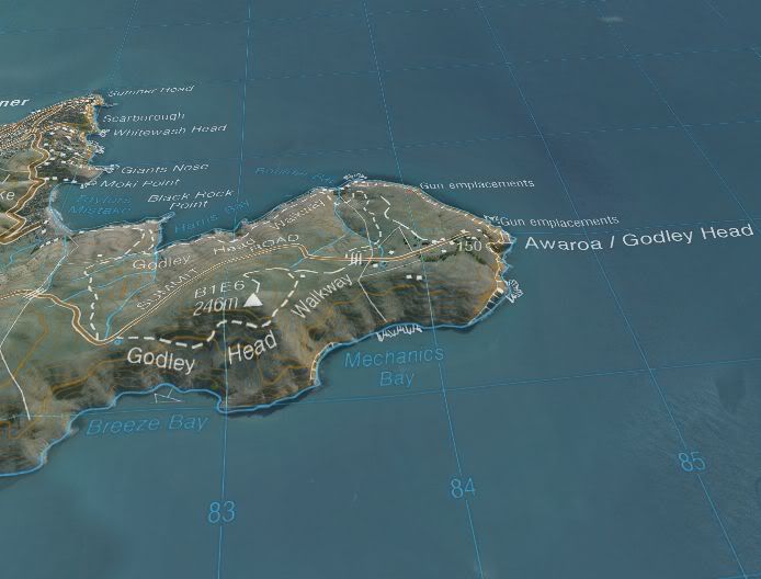
sample zoom to lyttleton ... banks penninsula, and lake area to the south in this version is recolourized black and white aerial
http://s1195.photobucket.com/albums/aa393/...ttletonZoom.mp4with topo overlay from nasa worlwind, this topo overlay is in colour, in the fs version i knocked back the colour to monochrome, so it isn't as garrish
fs dataset is a port from this one, my mesh in this program in not great, especially around the coast, hence the hilly sea
http://i1195.photobucket.com/albums/aa393/...worldwind01.jpgfrom memory, this was also colourized from black and white
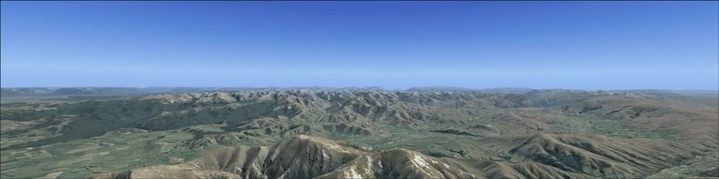
http://i1195.photobucket.com/albums/aa393/...n/fs2004-02.jpgprobably satellite only data
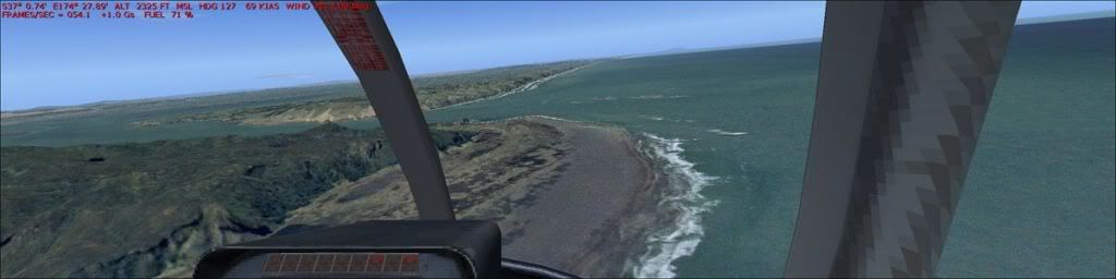
http://i1195.photobucket.com/albums/aa393/...n/fs2004-03.jpgwest coast beaches of auckland ... i left all the sea detail in, rather than cutting a mask for fs sea
http://i1195.photobucket.com/albums/aa393/...n/fs2004-01.jpg
Posted:
Tue Jan 25, 2011 10:10 pmby Ian Warren
Example , Akaroa , have the township cut out , from there can be auotgened to suit