Welcome to the NZFF Screenshot Competition for March 2011.
This month's rules are as follows:
1) The screenshot image must consist of a screen captured from a Flight Simulator program (FS2004, FSX, X-Plane, etc), and the position of the shot must be from somewhere within the New Zealand territory.
2) Some editing is allowed (if you know how to do it.) Additional images - either screenshots or "real" images can be added - but the main component of the image should always be of a Flight sim screen capture.
3) The images must be jpg (Please use http://s366.photobucket.com for your screenshot image) and size must be at least 1024 pixels wide and no wider than 1280 pixels -- A good free resizing program can be found Here. Please keep a high resolution version saved on your computer; the admin may request it from you at the end of the month to convert into a site banner!
4) Images can be submitted from 1st until 31st March 2011, with only one entry of a single image per member. You can change your submission before the closing date if you want.
To change use the edit button at the bottom of your post, just delete the old one and replace it with a new one If you post comments using the quote or reply button please edit out all images from your reply or quote.
If you have any queries about the rules please PM me for clarification before posting your entry.
5) Soon after the competition ends, a poll will open for members to decide who has the best image, and then the winner will have a cropped version of their image appear in the NZFF banner as well as receiving the prize for the month if we have one donated.
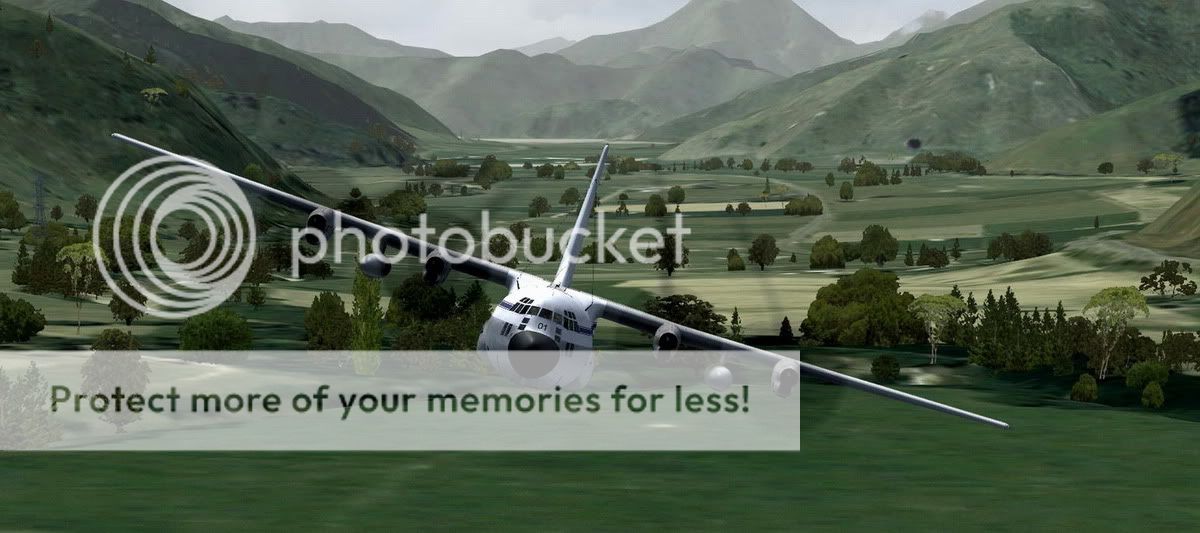
6) This month's theme: Any flightsim Aircraft (free or payware) flying between 100ft and 2000ft higher than your nearest ground anywhere in New Zealand (Please state what part of New Zealand you are flying over)
I ask all members to please patronize all our very generous prize sponsors.
We have another excellent prize for this month’s competition very generously donated by A2A Simulations
For the winner of the March 2011 NZFF Screenshot competition the prize is any product of their choice from the https://www.a2asimulations.com/store/
A big thank you to this month’s prize sponsor to check out their site click on their banner below

This month's rules are as follows:
1) The screenshot image must consist of a screen captured from a Flight Simulator program (FS2004, FSX, X-Plane, etc), and the position of the shot must be from somewhere within the New Zealand territory.
2) Some editing is allowed (if you know how to do it.) Additional images - either screenshots or "real" images can be added - but the main component of the image should always be of a Flight sim screen capture.
3) The images must be jpg (Please use http://s366.photobucket.com for your screenshot image) and size must be at least 1024 pixels wide and no wider than 1280 pixels -- A good free resizing program can be found Here. Please keep a high resolution version saved on your computer; the admin may request it from you at the end of the month to convert into a site banner!
4) Images can be submitted from 1st until 31st March 2011, with only one entry of a single image per member. You can change your submission before the closing date if you want.
To change use the edit button at the bottom of your post, just delete the old one and replace it with a new one If you post comments using the quote or reply button please edit out all images from your reply or quote.
If you have any queries about the rules please PM me for clarification before posting your entry.
5) Soon after the competition ends, a poll will open for members to decide who has the best image, and then the winner will have a cropped version of their image appear in the NZFF banner as well as receiving the prize for the month if we have one donated.
6) This month's theme: Any flightsim Aircraft (free or payware) flying between 100ft and 2000ft higher than your nearest ground anywhere in New Zealand (Please state what part of New Zealand you are flying over)
I ask all members to please patronize all our very generous prize sponsors.
We have another excellent prize for this month’s competition very generously donated by A2A Simulations
For the winner of the March 2011 NZFF Screenshot competition the prize is any product of their choice from the https://www.a2asimulations.com/store/
A big thank you to this month’s prize sponsor to check out their site click on their banner below


 That prize is excellent!


 end off this month the choice is yours and Jeepers this i can see becoming a love affair !


 . My boring (as usual ) entry will follow shortly