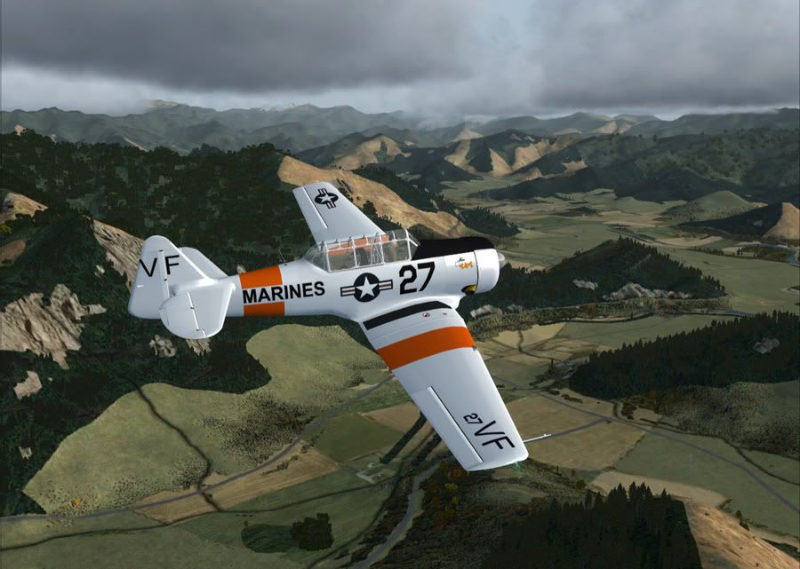
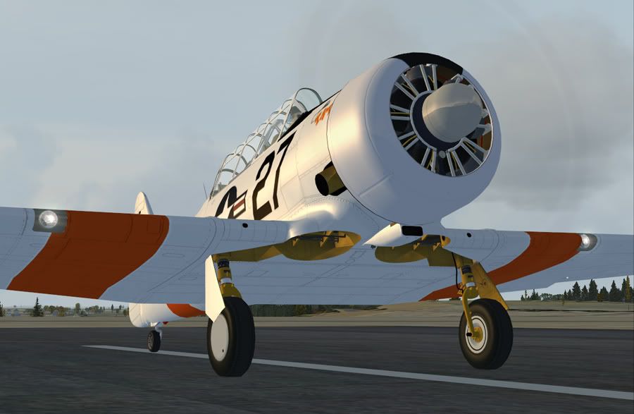
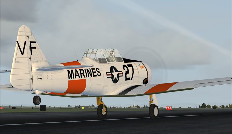
I am currently doing a bit of a NZ tour, to explore some of VLC with. After flying Dunedin to Wellington, my next leg is home to Nelson. After seeing the P51D from Warbirdsim (again) I went looking for a freeware FSX P51, and came up with this T6 Texan instead from Warwick Carter. (I've since found updated and nicer textures for it, but not until after this flight). Either way, was still a nice trip across Cook Strait, and over the Marlborough Sounds to Nelson.
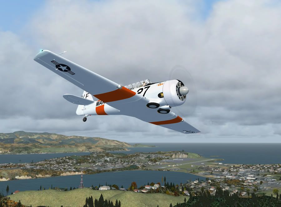
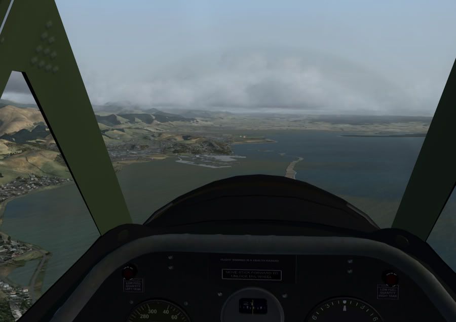
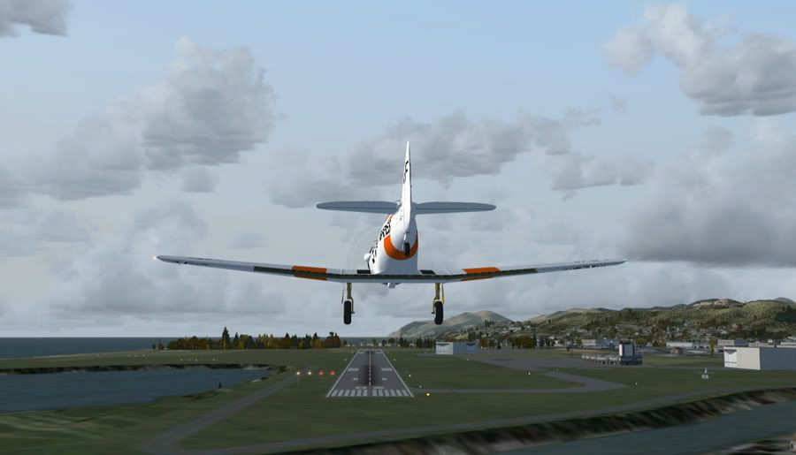
Climbing out of NZWN over Mt Victoria
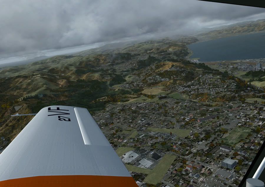
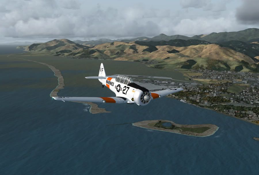
Hello Wellington! Sorry if the drone of my engine doesn't agree with your hang over!
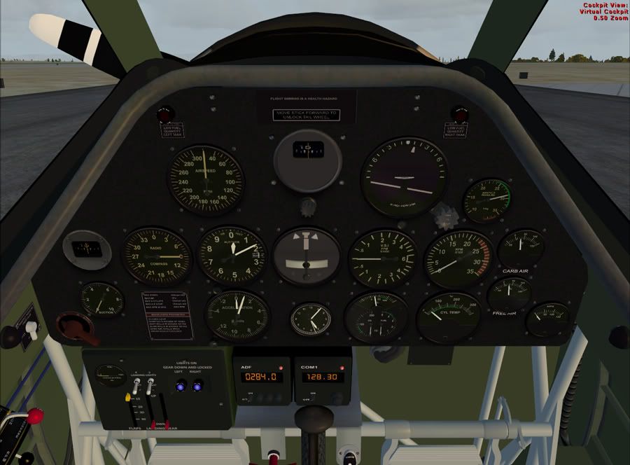
Looking north up the coast towards Kapiti Island. About to level off to stay beneath the cloud for VFR. Heck, this plane doesn't even have a GPS let alone anything IFR capable.
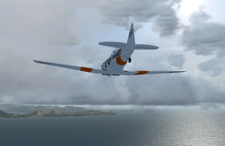
But with the Sounds just out front, who needs a map
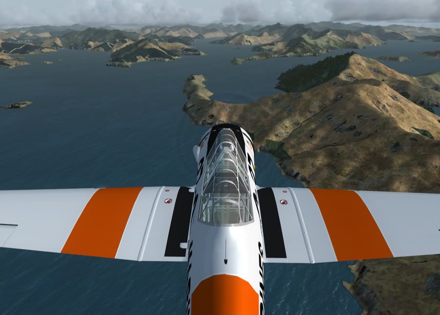
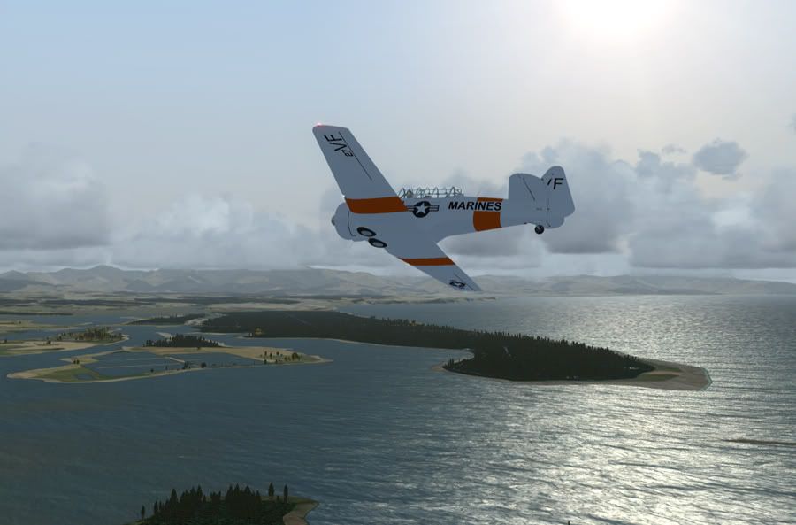
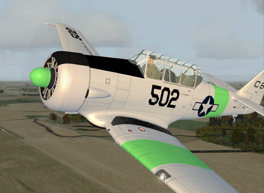
Overhead Beatrix Bay
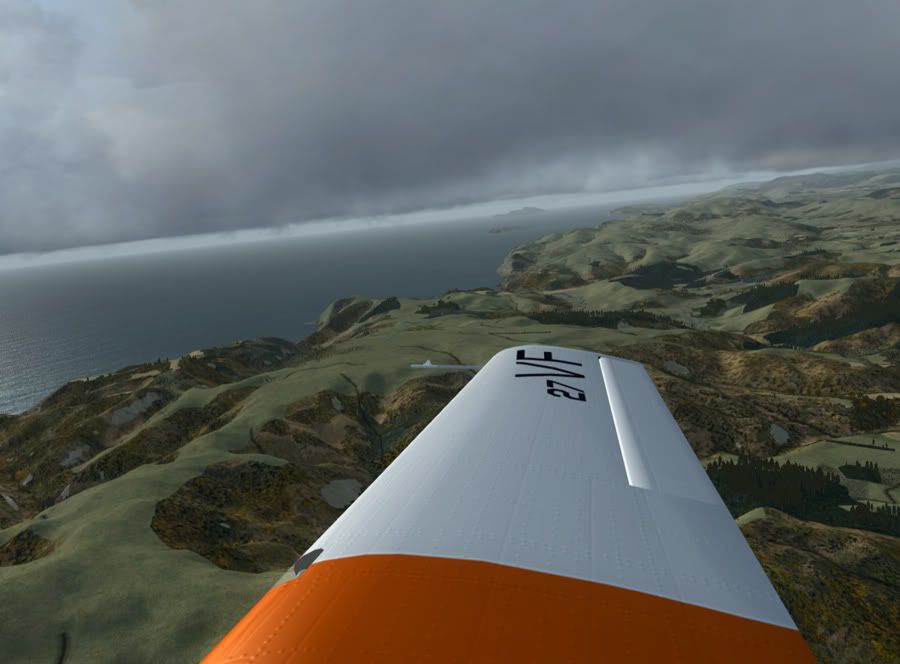
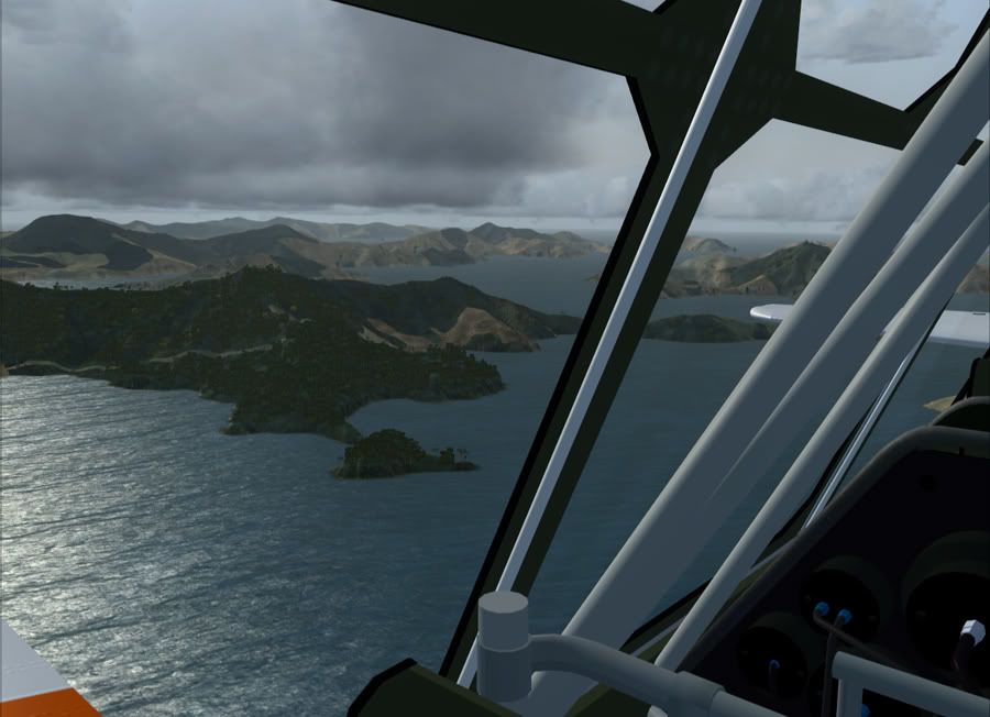
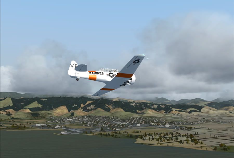
Looking back over my right shoulder towards North West Bay/ Wilson Bay
Weather is nice where we are heading, but it's probably snowing up on those mountains this time of year. Need to stay low and out of those clouds
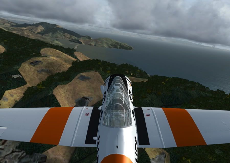
Tasman Bay ahead, and so is Pepin Island, directly in front of us
Arriving into Nelson, heading directly for the field at this point, but expecting to land from the south. I can see my work from here, guess I'm 'arriving' back in Nelson just in time to go tomorrow
Overhead the Boulder Bank (such an original name) and Haulashore Island, looking back on Nelson
Rabbit Island and Bell Island as I bank off to begin my approach for 02
My home town of Richmond
And final to land at NZNS. Grab-a-seat from Air NZ at $59 would have been cheaper, but no where near as interesting
Cheers for looking
Addons:
VLC for NZ, fsds_t-6.zip from Flightsim.com
Climbing out of NZWN over Mt Victoria
Hello Wellington! Sorry if the drone of my engine doesn't agree with your hang over!
Looking north up the coast towards Kapiti Island. About to level off to stay beneath the cloud for VFR. Heck, this plane doesn't even have a GPS let alone anything IFR capable.
But with the Sounds just out front, who needs a map
Overhead Beatrix Bay
Looking back over my right shoulder towards North West Bay/ Wilson Bay
Weather is nice where we are heading, but it's probably snowing up on those mountains this time of year. Need to stay low and out of those clouds
Tasman Bay ahead, and so is Pepin Island, directly in front of us
Arriving into Nelson, heading directly for the field at this point, but expecting to land from the south. I can see my work from here, guess I'm 'arriving' back in Nelson just in time to go tomorrow
Overhead the Boulder Bank (such an original name) and Haulashore Island, looking back on Nelson
Rabbit Island and Bell Island as I bank off to begin my approach for 02
My home town of Richmond
And final to land at NZNS. Grab-a-seat from Air NZ at $59 would have been cheaper, but no where near as interesting
Cheers for looking
Addons:
VLC for NZ, fsds_t-6.zip from Flightsim.com
 or
or  ?
?

 When it was actually an RNZAF base I mean!


