When the Orbx and OZx sceney started coming out, I used to love downloading the plan-G files from the OZx site that listed all the non regisstered airfields and OZx airfields and flew half way around Ozy visiting them all and found some that really stood out from the rest.
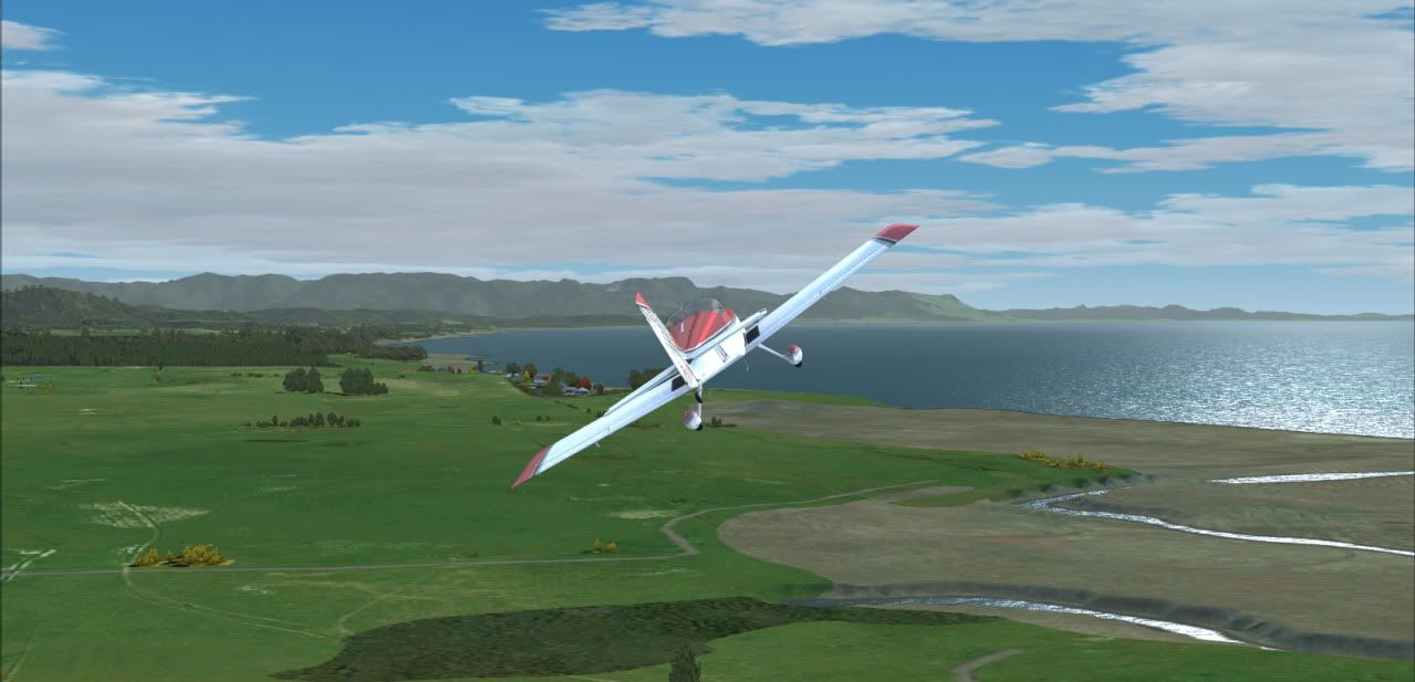
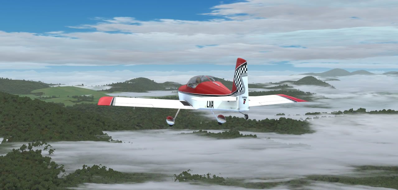
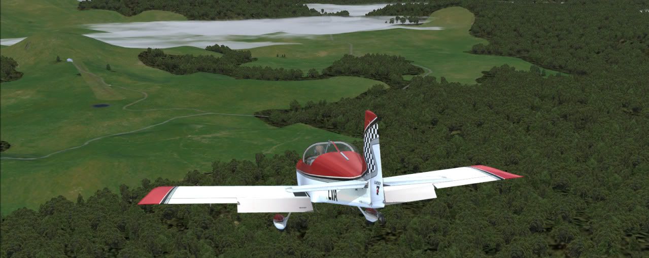
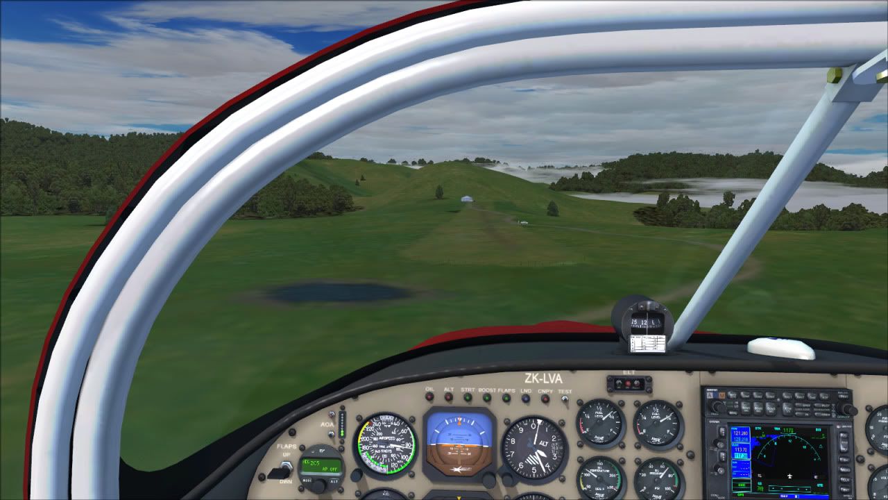
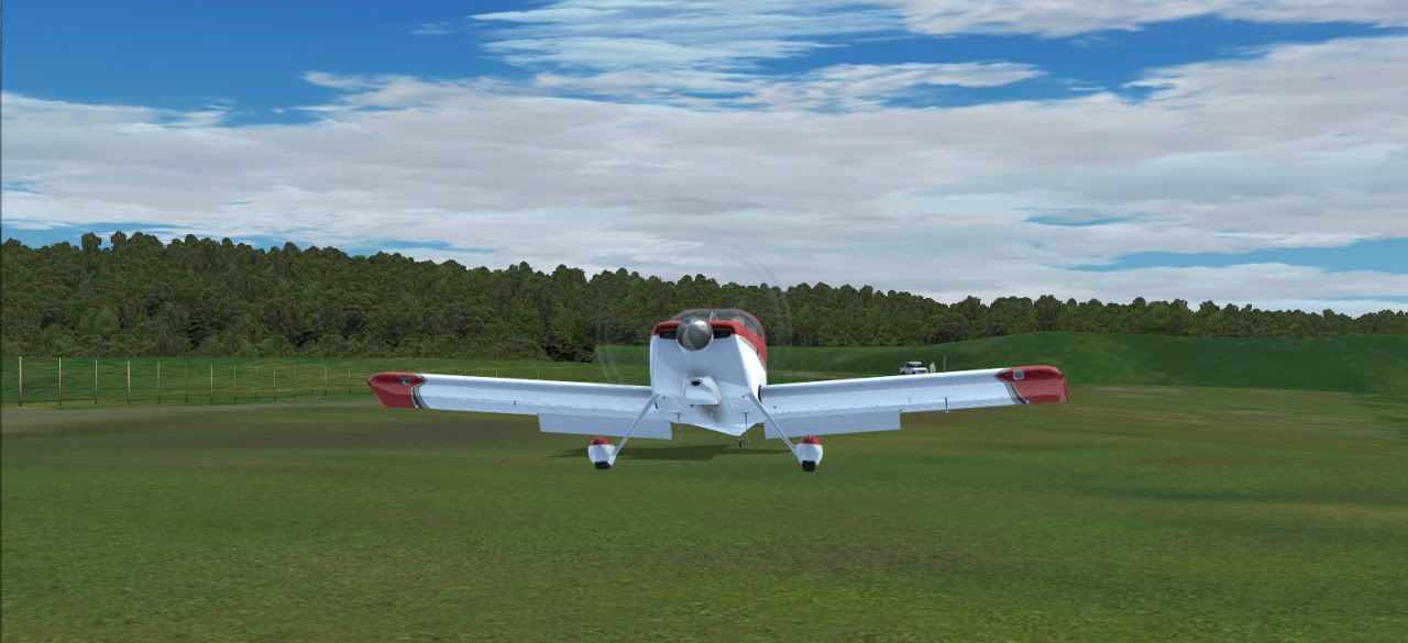
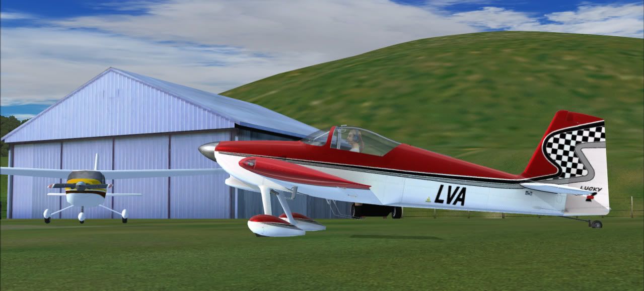
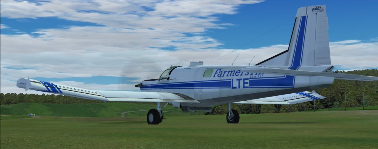
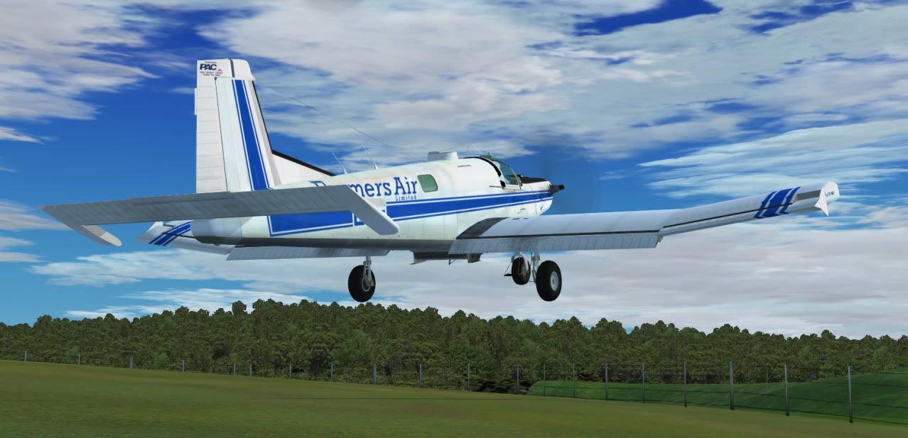
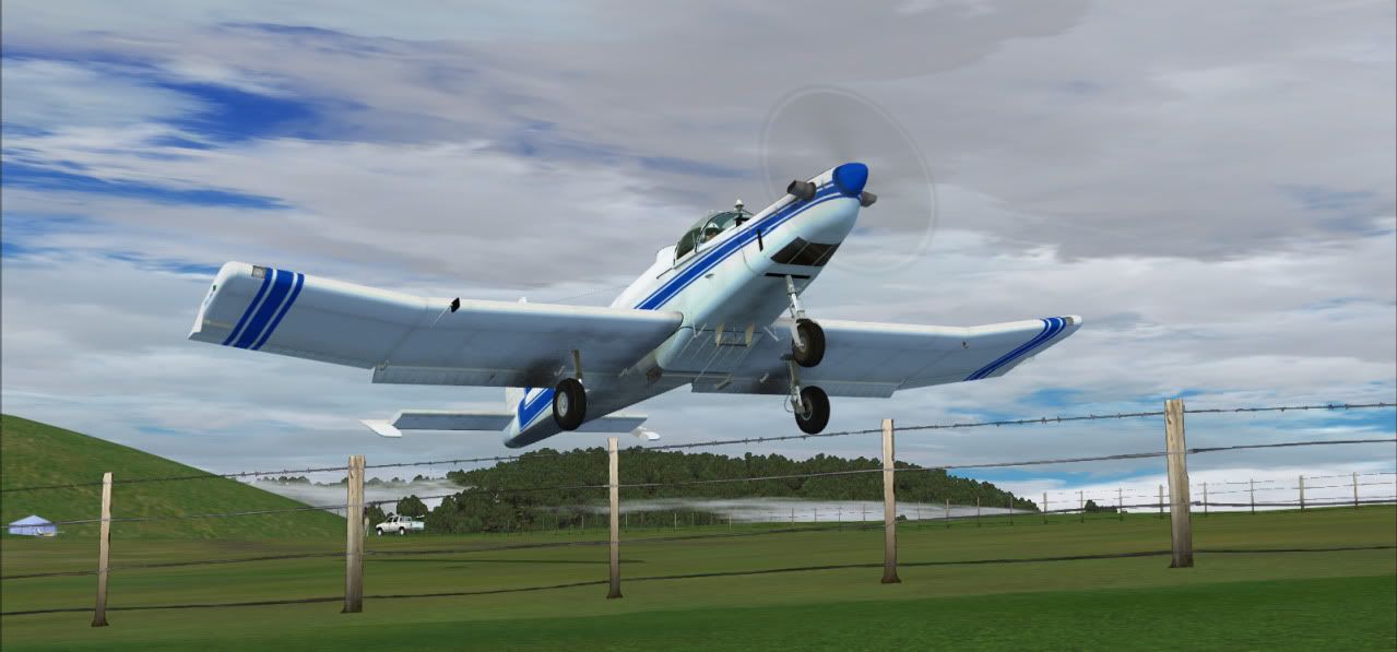
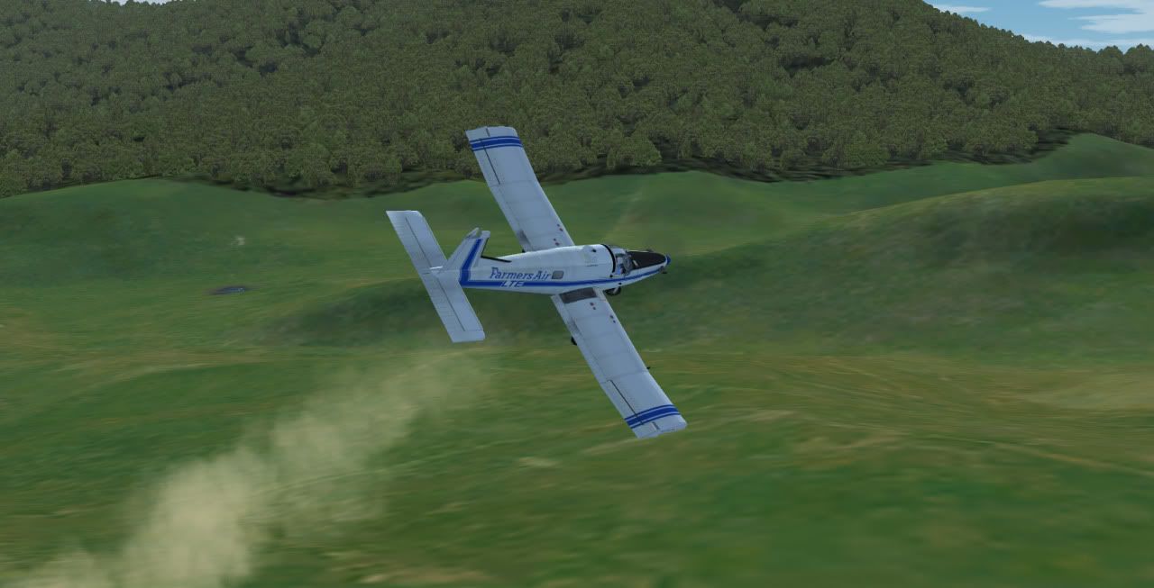
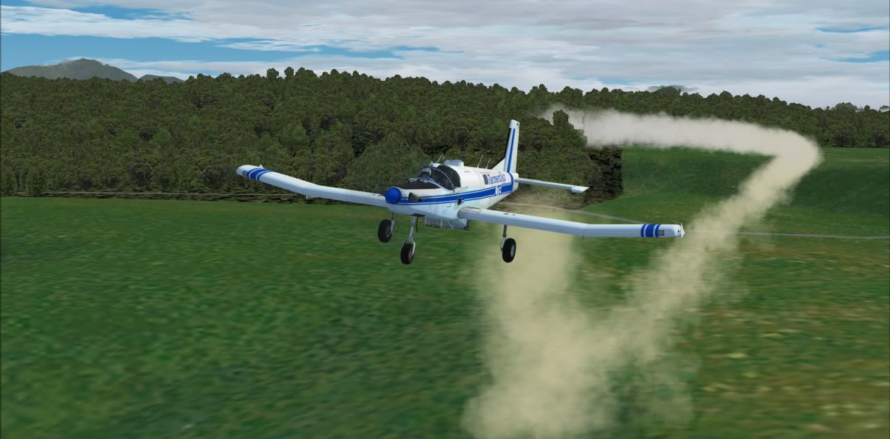
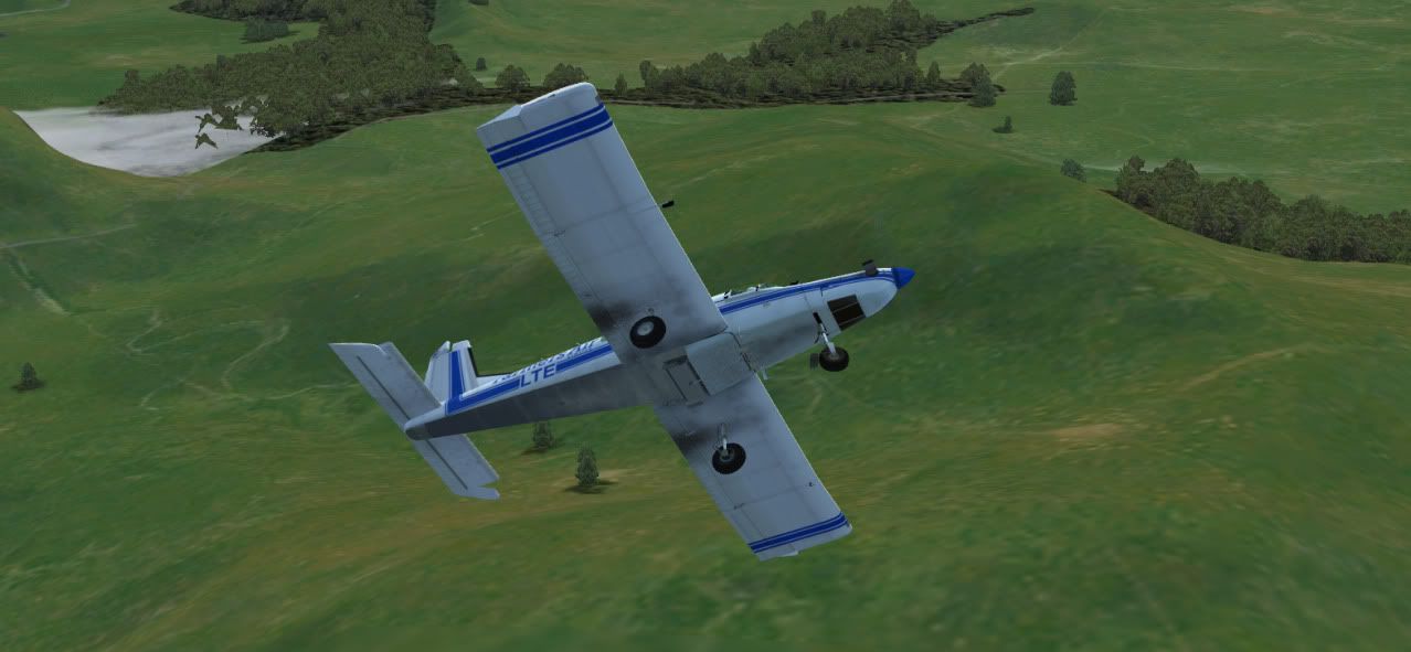
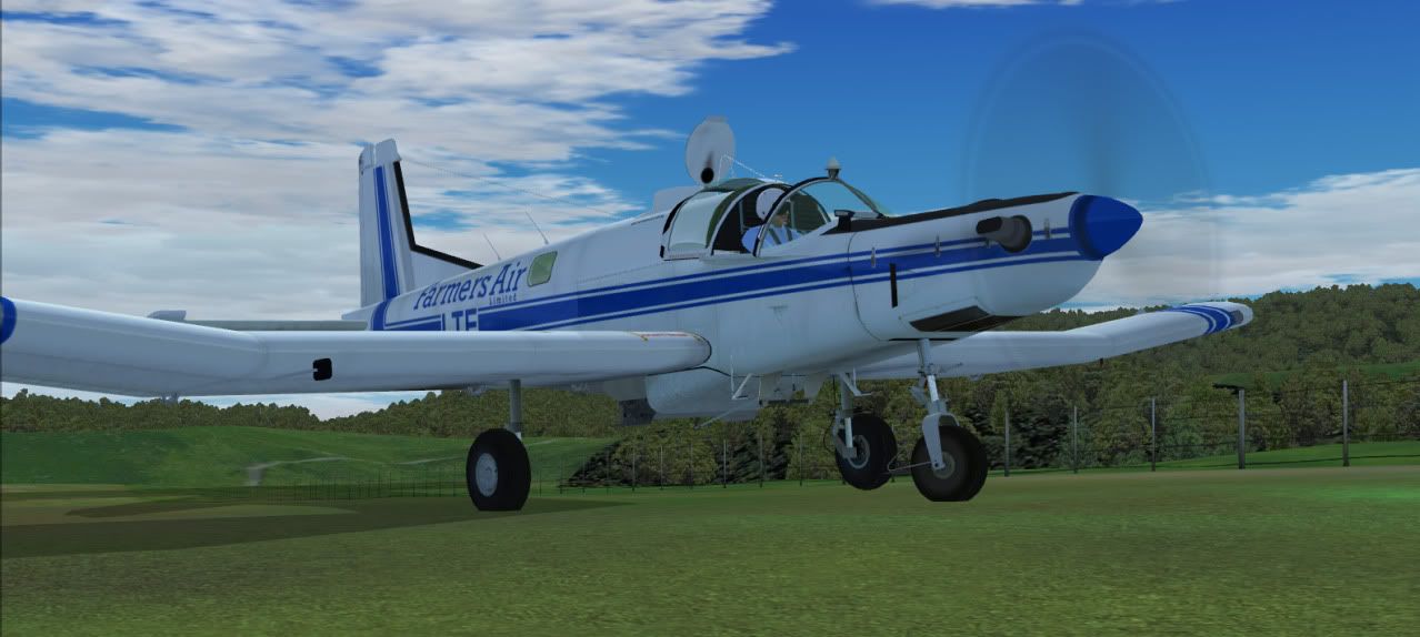
I have just recently started a tour of the same type, flying all the unregisted airfields starting from Nelson. I didnt have to go far. Heres a few shots from the 1st cool airfield I have come to after passing over numerous plain grass strips on my way up to Farewell Spit.
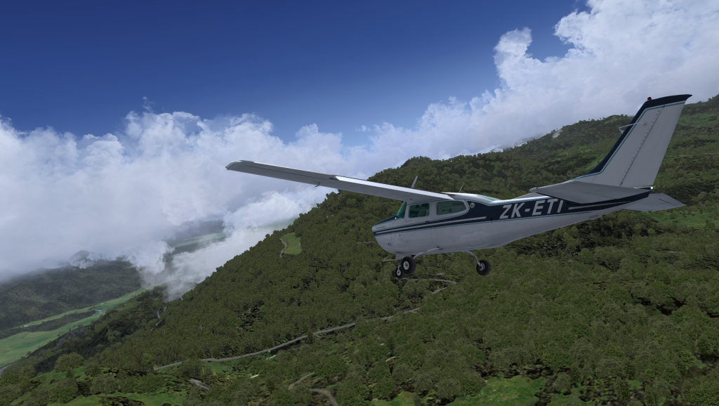
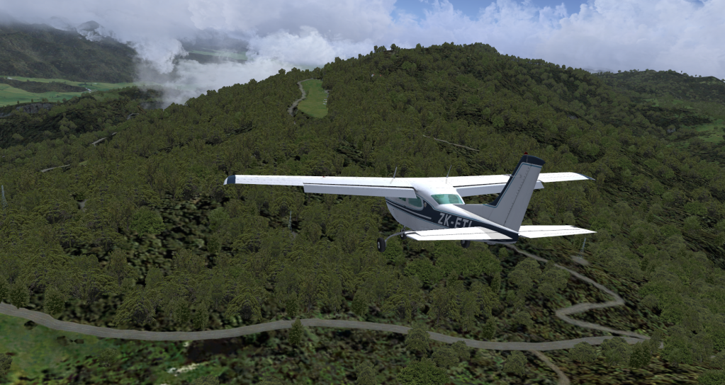
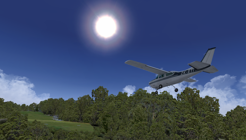
Any guess's
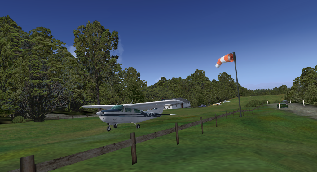
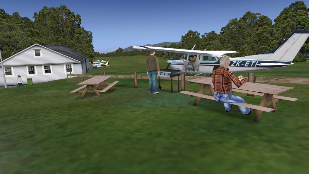
I have just recently started a tour of the same type, flying all the unregisted airfields starting from Nelson. I didnt have to go far. Heres a few shots from the 1st cool airfield I have come to after passing over numerous plain grass strips on my way up to Farewell Spit.
Any guess's