AFS2 Chatham Islands
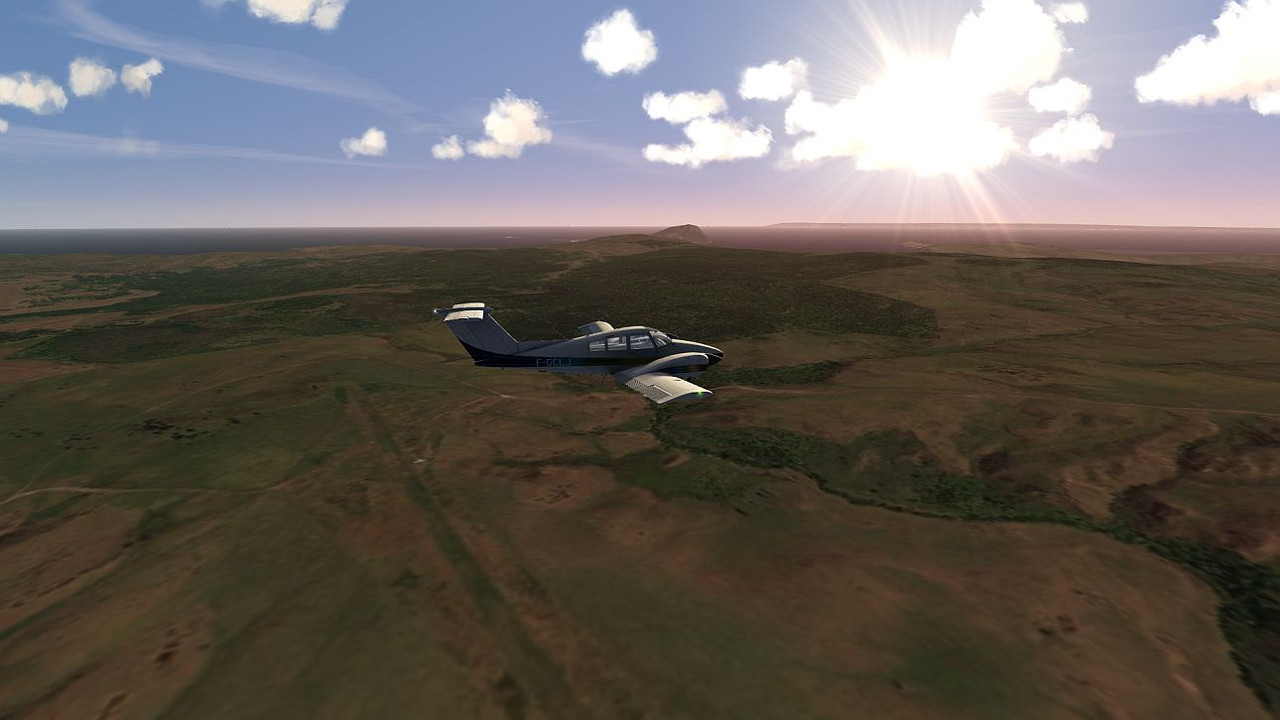
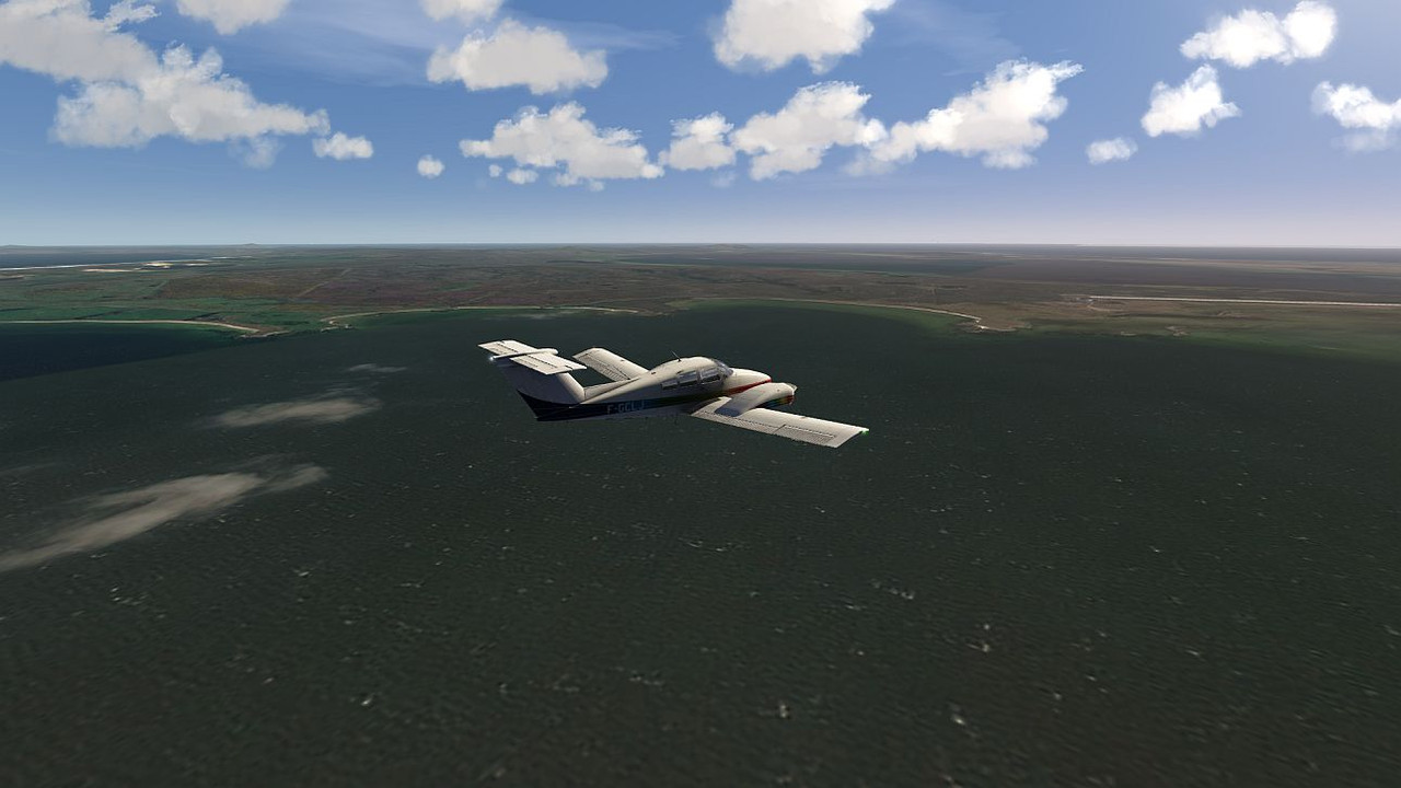
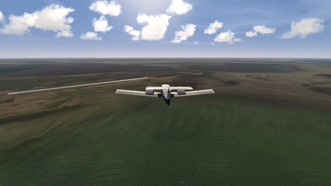
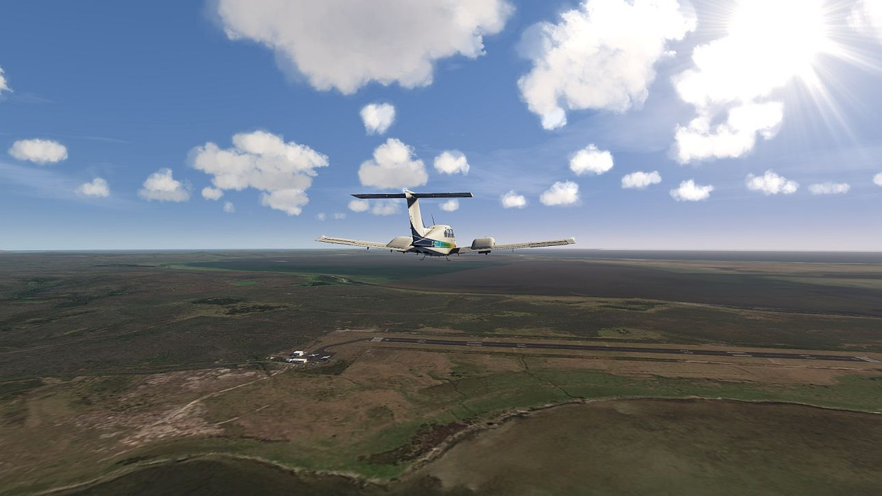
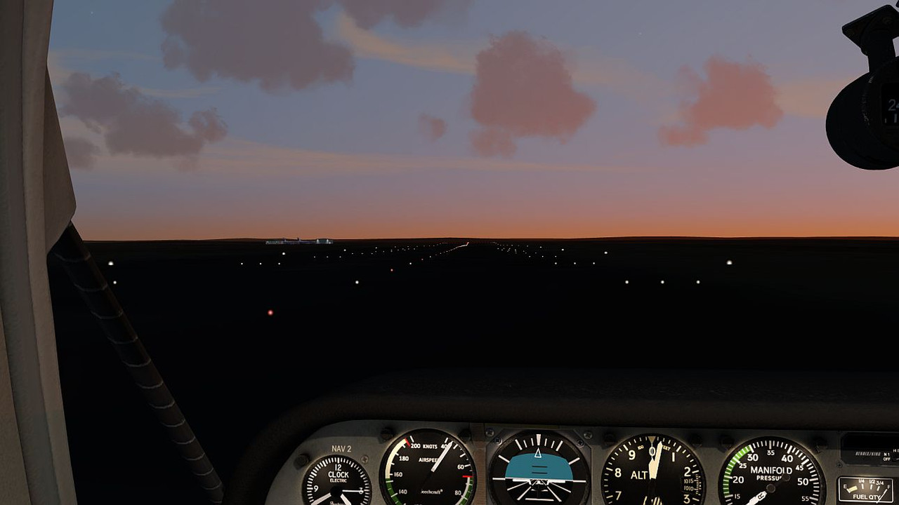
A target that has had me climbing the walls. Using LINZ data (my preferred source) only produces 4000-odd black tiles. Bing showed promise but had far too much cloud cover, so I tried ArcGIS. Their data is almost cloud-free, but above level 12 I get lots of little grey tiles saying "This area not mapped yet". This is a pity, because I use 13 as my general area level with 15 for actual airports and 14 for the airport surrounds. So on descent to NZCI, the little grey tiles take over a few miles out and the runway disappears  So I stripped out all the tiles higher than level 12 and now it is almost usable. I cruised around at 1000' to get some screenies. Pitt island looks pretty good, and you can see the grass airstrip there. I have the NZCI airport from FSCloudPort, although I disabled the runway object. That gives a more natural look to the runway, and you keep all the lights and so on.
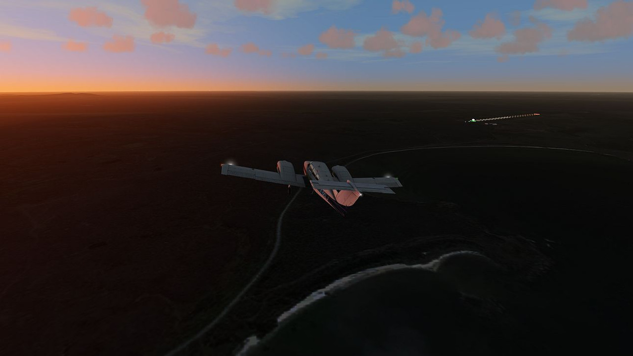
Pitt Island
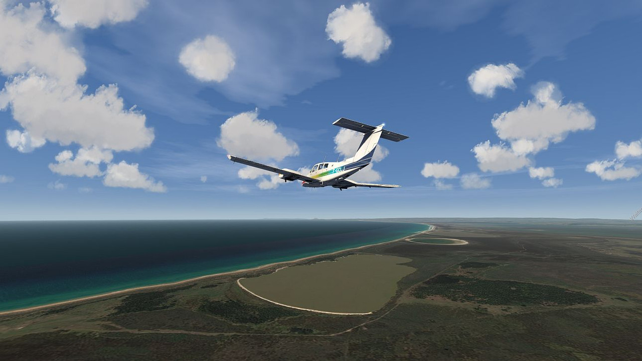
Chatham Island
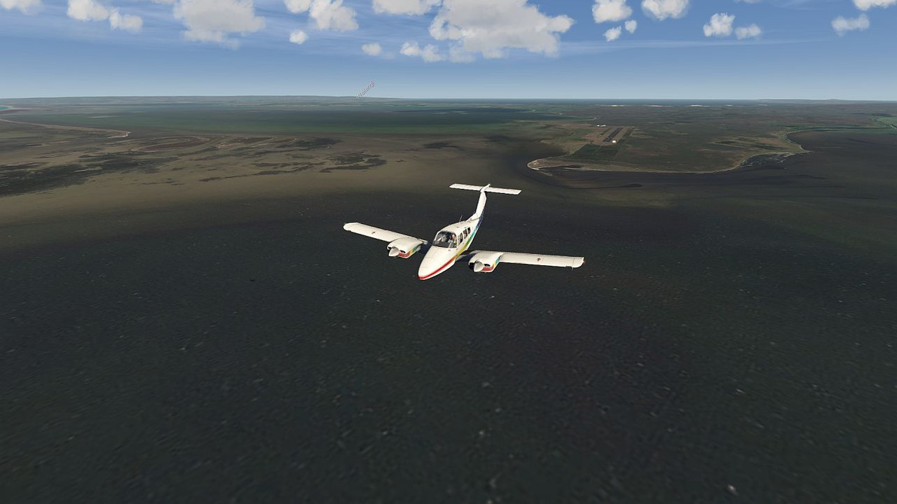
NZCI /Tuuta airport, with and without the runway object

So I stripped out all the tiles higher than level 12 and now it is almost usable. I cruised around at 1000' to get some screenies. Pitt island looks pretty good, and you can see the grass airstrip there. I have the NZCI airport from FSCloudPort, although I disabled the runway object. That gives a more natural look to the runway, and you keep all the lights and so on.Pitt Island
Chatham Island
NZCI /Tuuta airport, with and without the runway object
 A Cessna 206 and a Convair 580 as a minimum. Sad to say there is not even a DC-3 for AFS2, never mind SAABs and ATRs. . One day, someone will do them.
 Mike
Mike