Here are a few shots from the FSX Seasprite (this thread) around Rotorua. Shown is the Rotorua Photoreal and RealNZ Rotorua Airport by Robin Corn, and the Government Gardens and Mt Tarawera photoreal by Tim Barnes. 
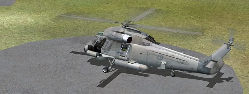
On the ground at Rotorua
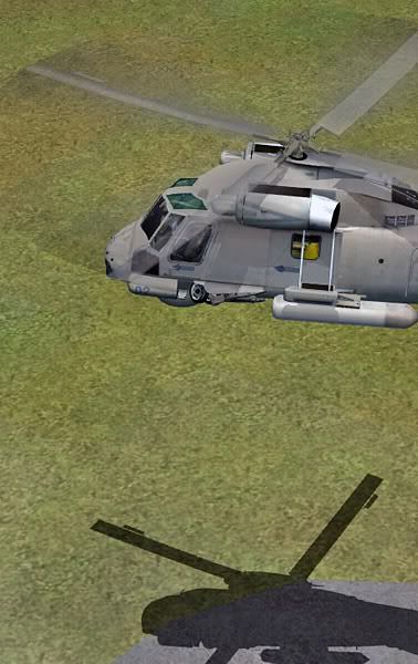
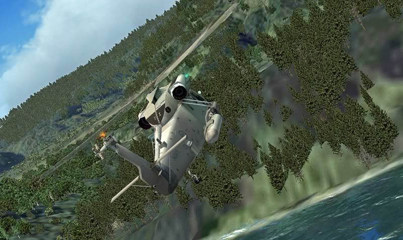
Lifting off, and the gear up - nice animation
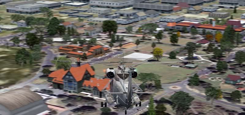
Coming in for a quick landing at the Government Gardens - with a vista of the city centre at the moment
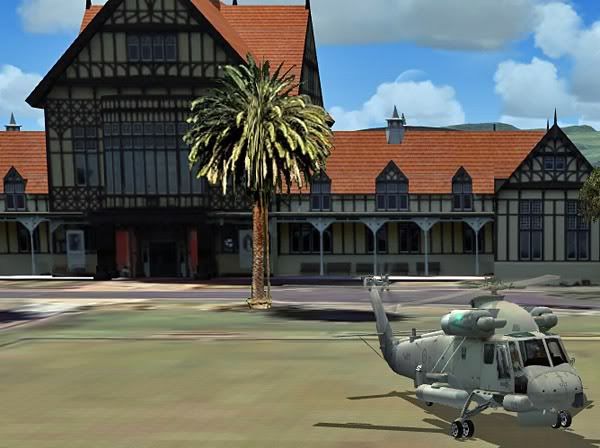
In front of the museum
Heading out south-east to Mt Tarawera
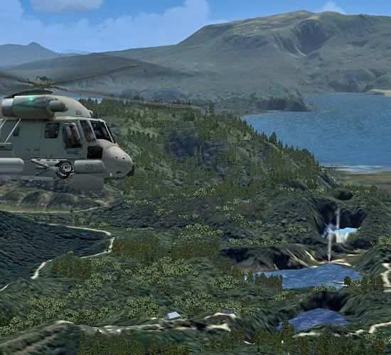
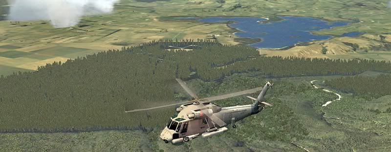
But first a quick detour over Lake Okareka...
Boiling pools are scattered around this Thermal District...
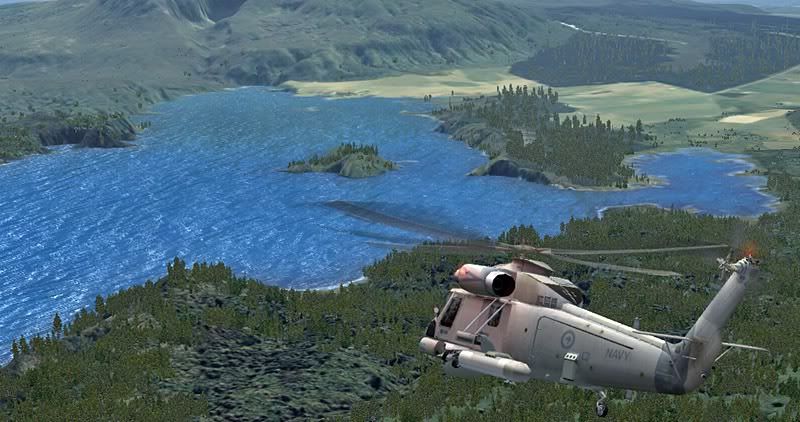
We'll come in from the south-west, over Lake Rotomahana
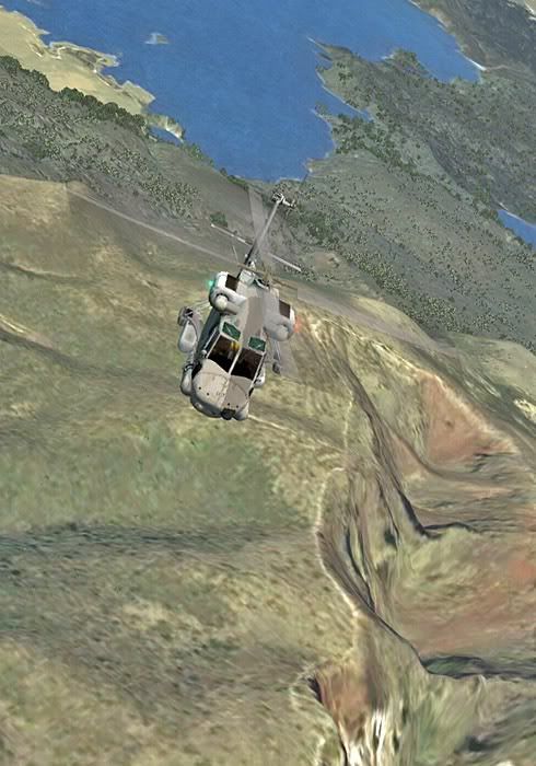
Looking back at Rotomahana as we climb over the 1111m high mountain
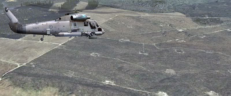
A quick glance over towards Lake Rerewhakaaitu; generally accepted as the southernmost lake in the Rotorua District
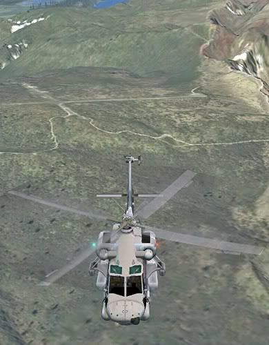
The old airfield on Mt. Tarawera, which has fallen into disuse
Now we're turning back west towards Rotorua
Thanks for viewing.
Alex
On the ground at Rotorua
Lifting off, and the gear up - nice animation
Coming in for a quick landing at the Government Gardens - with a vista of the city centre at the moment
In front of the museum
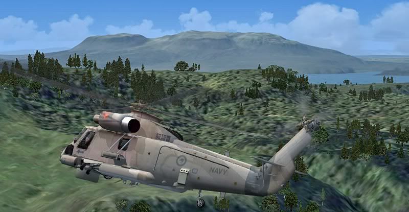
Heading out south-east to Mt Tarawera
But first a quick detour over Lake Okareka...
Boiling pools are scattered around this Thermal District...
We'll come in from the south-west, over Lake Rotomahana
Looking back at Rotomahana as we climb over the 1111m high mountain
A quick glance over towards Lake Rerewhakaaitu; generally accepted as the southernmost lake in the Rotorua District
The old airfield on Mt. Tarawera, which has fallen into disuse
Now we're turning back west towards Rotorua
Thanks for viewing.
Alex


 perhaps???