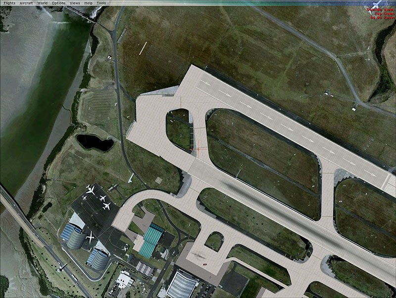
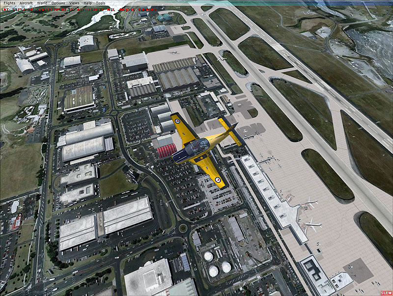
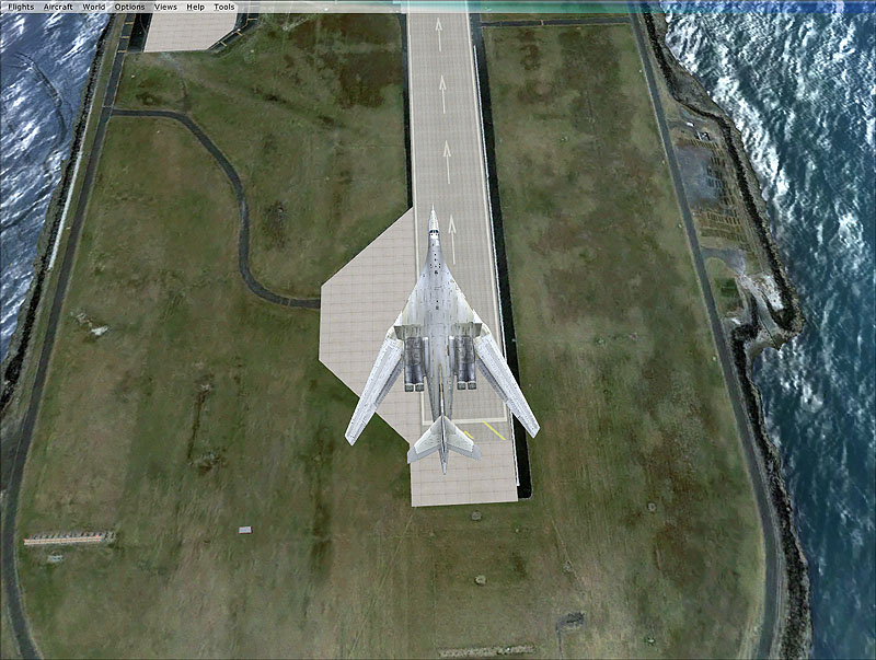
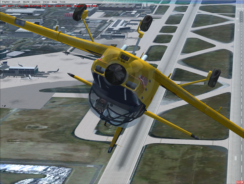
My colleague at work has created a cunning little script which take a GIS polygon (representing the area of interest), divide it into blocks, create alignment points, open google earth (Pro version), export an image for each block (which doesnt come with georeferencing information), georeference the images then clip them to create an image catalogue for use in GIS..very clever.
So i just exported them again, added the water and blend masks in photoshop and then resampled them for FSX...turned up my sliders and basked in the 8-16 FPS hi res glory

For the rest of the album see here: Album
(PS due to the legal issues of Google Earth Imagery, there is no way that this can be released unfortunately)
 who uses these photos once taken .. city planning ? ( legal issues of Google Earth Imagery )