But today Auckland is having a little weather, so I thought: wonder if that's any good in the sim.
So I pressed "Real World Weather" and got a download from Jeppeson.
None more surprised than me when I lined up at NZNE to find it absolutely bucketing down, pretty much the way it looks out of the window.
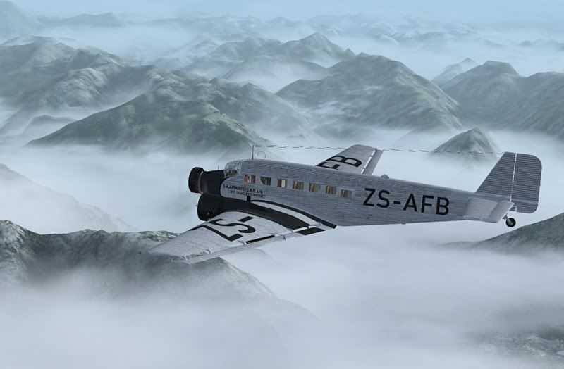
I suspect this is IFR but my SIA 260 is a sturdy little aircraft and what's simming about after all?
What a ride!
The turbulence is unlike anything I've experienced - in the Realair model there is latency so you begin to feel a little motion sick after a bit of this.
And ragged clouds with intermittent heavy rain, and amazingly realistic thunder.
As I got closer to the Coromandel I took a screenshot, but like sunsets you don't get the real feel of the situation. This is really evil weather.
It was only when I paused the sim to answer the phone and the "realistic" thunder carried on, that I realised this was in and out of the sim.
What an experience! After all these years MS FS can still come up with something that blows your socks off.


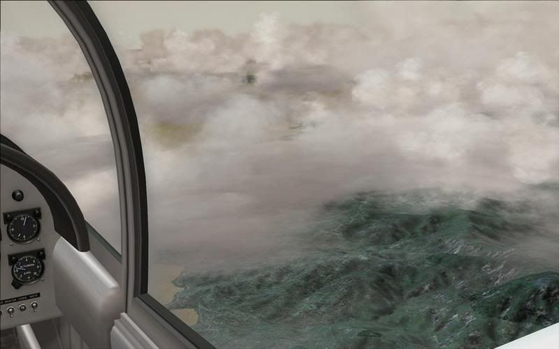
 . Anyway, because the cloud layer is so close to the ground, and can see the ground because there is only say 200ft between the top of the cloud layer and the ground. But when you are in it and trying to look ahead, there could be up around five nautical miles of cloud between you and the end of the cloud.


 lol
lol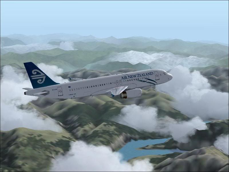

 thayr just as fast.