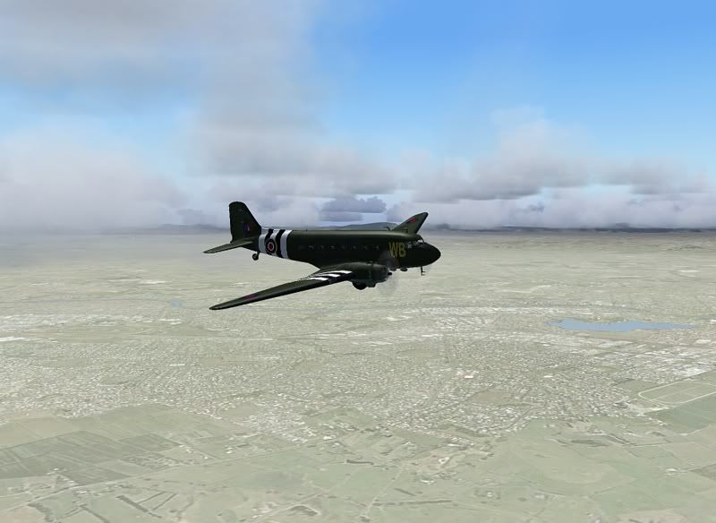
This Labour Weekend, ZK-DAK heads down to New Plymouth from Ardmore for a final flight before being completely repainted over at NZPM by Field Air.
I decided to take that flight today, using VFR and following the extremely accurate RBE topo addon's NZ Roads, to fly along the route I drove earlier this year down to a cousins wedding in Urenui.
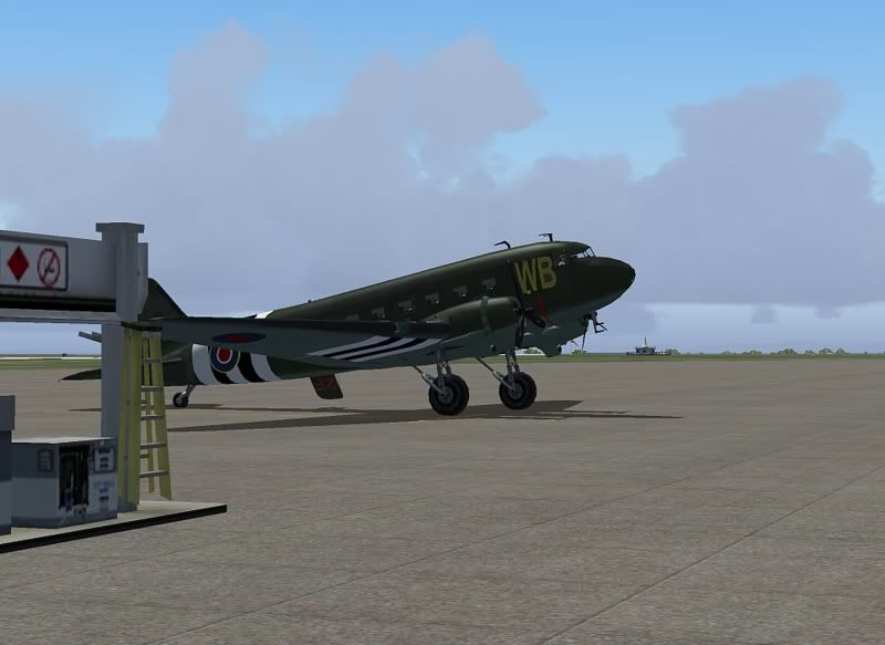
I set the payload to nearly empty, only 1 or 2 pax in real life today, and about 30% of the usual full load of fuel needed for the journy.
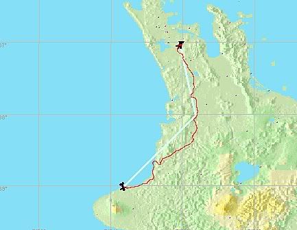
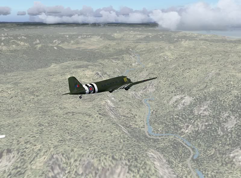
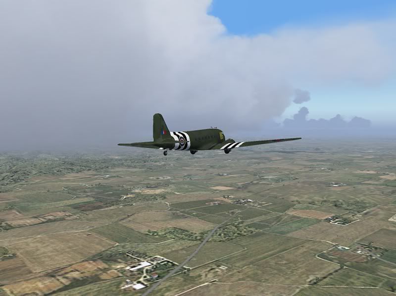
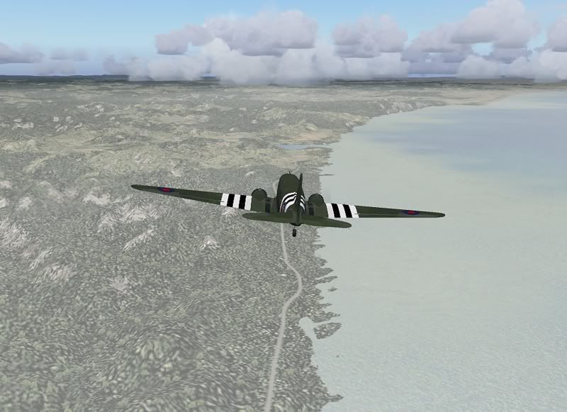
I then took off and followed the Southern Motorway down past Huntly, then followed the Waikato river to Ngaruawahia. Once I reached the old Maori capital, I turned to State Highway 3, and headed south past Mount Pirongia, and Otorohanga until I reached Te Kuiti, then headed towards the West coast to Mokau and Mount Messenger before being close enough to tune into New Plymouth ATC who cleared me for landing on runway 32, after 1 hour and 20 minutes, cruising at 140kias at 3000 feet using real world weather.
While the screenshots I took were not that brilliant, I was hugely impressed by the RBE road system which represented exactly what I remembered in real life. Take Mount Messenger for example:
All these twists are there as you ascend up the hill in real life! If you have the RBE topo, then why not try this flight, or a simular flight for yourself? B)


 Great snaps Jenks! Thanks for sharing mate.