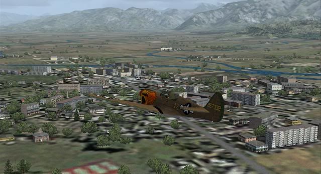
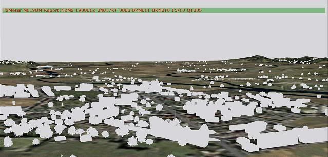
...I have a problem with fs2004, when flying in areas with low visibility ( fog ) this happens to me :

You know help me !!??
Thanks
Joseph
100% ad-free
![]() by Ian Warren » Fri Apr 03, 2009 4:01 pm
by Ian Warren » Fri Apr 03, 2009 4:01 pm


![]() by Ian Warren » Sat Apr 04, 2009 12:24 am
by Ian Warren » Sat Apr 04, 2009 12:24 am
![]() by creator2003 » Sat Apr 04, 2009 1:08 pm
by creator2003 » Sat Apr 04, 2009 1:08 pm

![]() by ardypilot » Sat Apr 04, 2009 5:10 pm
by ardypilot » Sat Apr 04, 2009 5:10 pm

![]() by Dan » Sun Aug 09, 2009 10:32 pm
by Dan » Sun Aug 09, 2009 10:32 pm


Users browsing this forum: No registered users and 38 guests


