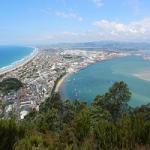
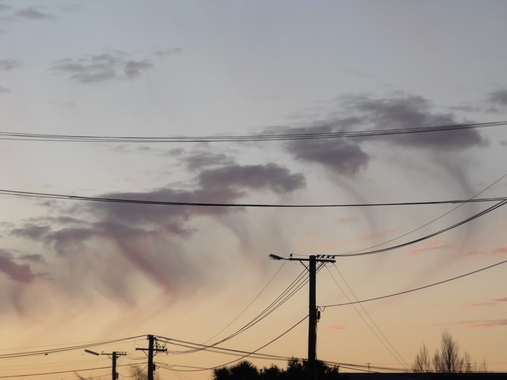
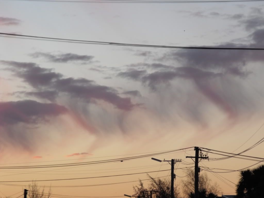
Tuesday i think it was. There was a line of CBs spliting over the peninsula forming the glaciation clouds. Pretty much what tim said. transformation of cloud particles from waterdrops to ice crystals. Probably cold upper air levels from Sunday/Mondays low.
Thanks for the info/comments guys. Whenever i see interesting cloud formations Im out with the camera......Luke, that is a magic shot (even if they do look a bit suspect (Chemtrails jks jks )
Cheers
Marty
Last edited by Splitpin on Sun Aug 15, 2010 11:07 am, edited 1 time in total.
 jks jks
 (even if they do look a bit suspect
  (Chemtrails jks jks )