NZLE to NZWS following the Buller River

Post and comment on screen captures from the beautiful game here. Home of the monthly screenshot competition

Postby dbcunnz » Wed Oct 27, 2010 11:56 pm

Took off from NZLE heading to NZWS followed the Buller river down through the Buller Gorge.

Passing over Kawatiri Junction.


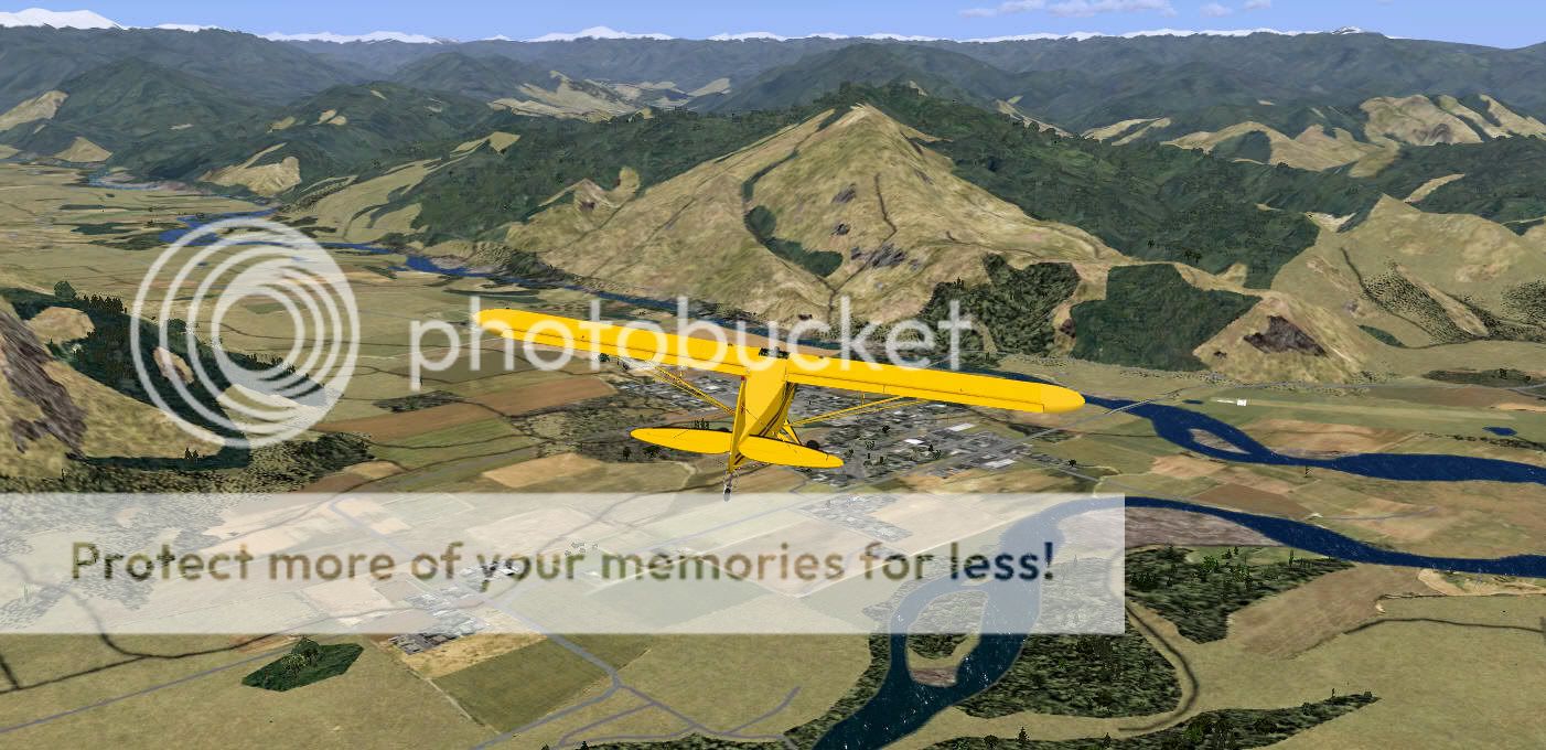
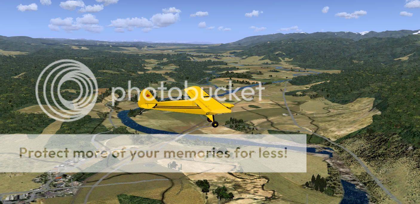
Passing over Murchison.


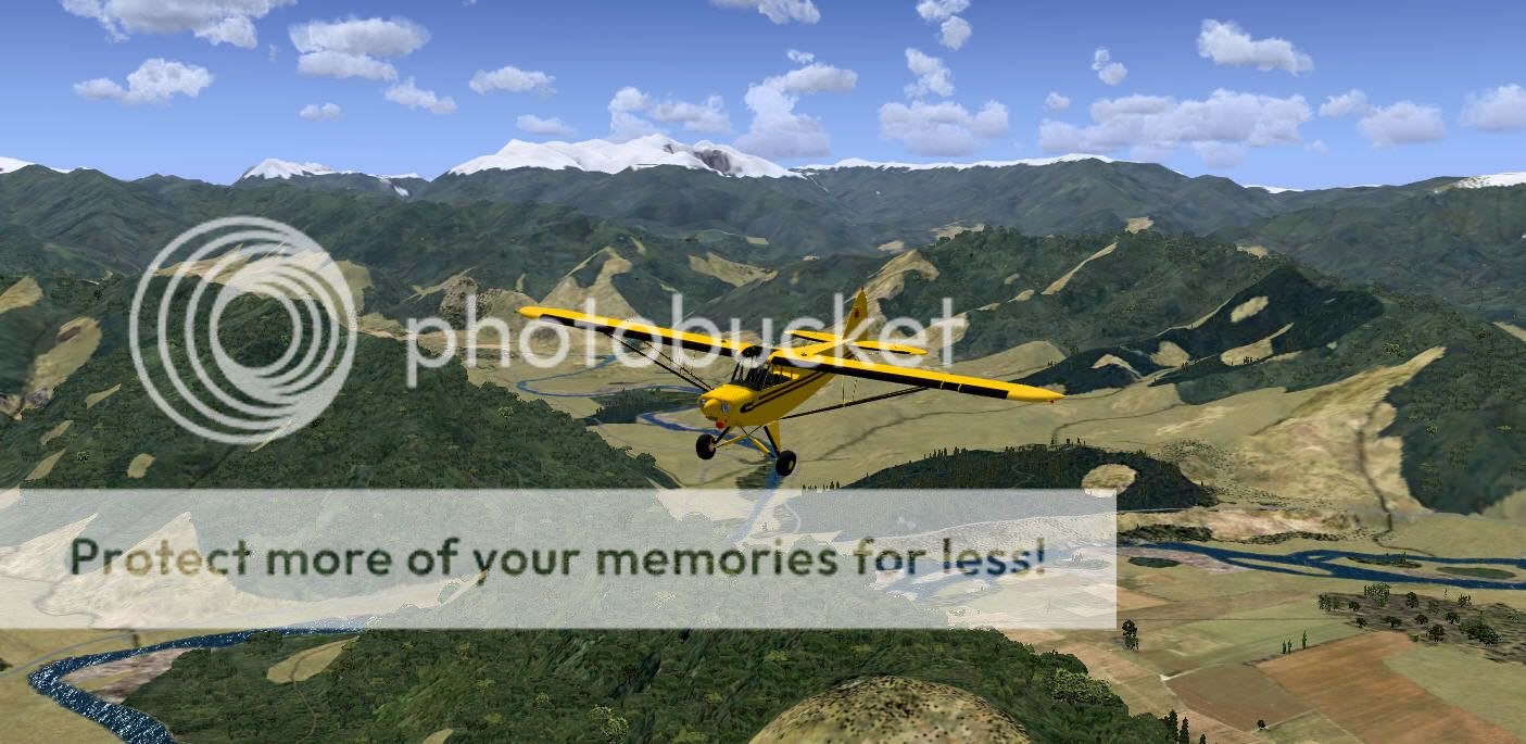
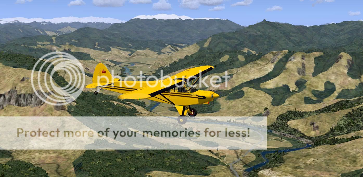
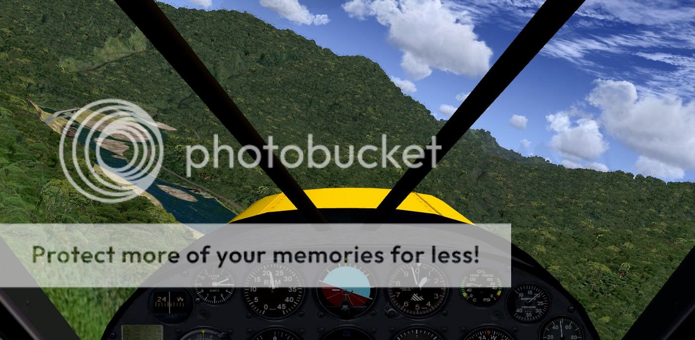
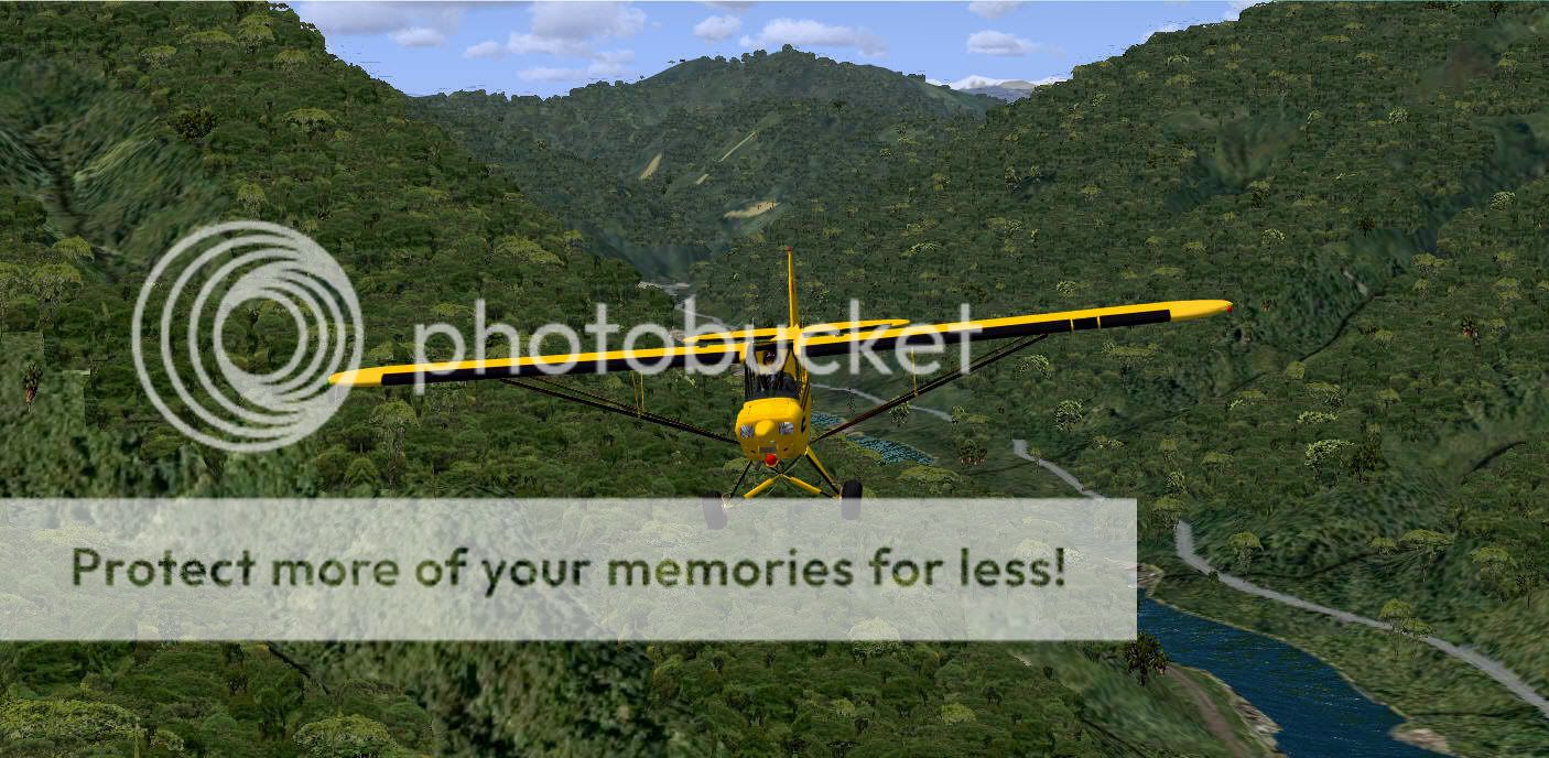
Looking up the Six Mile Valley towards the Matakitaki.


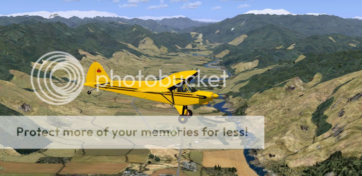
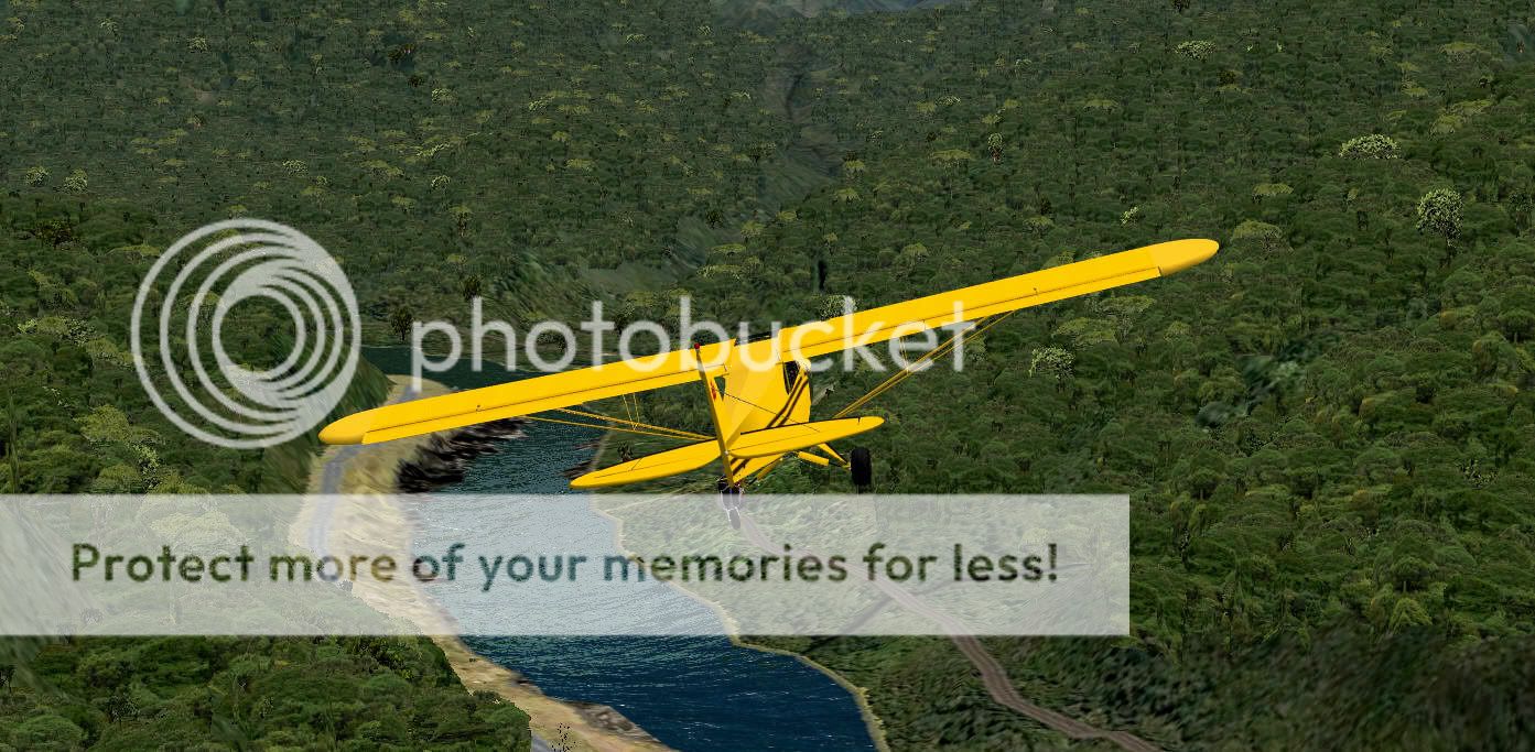
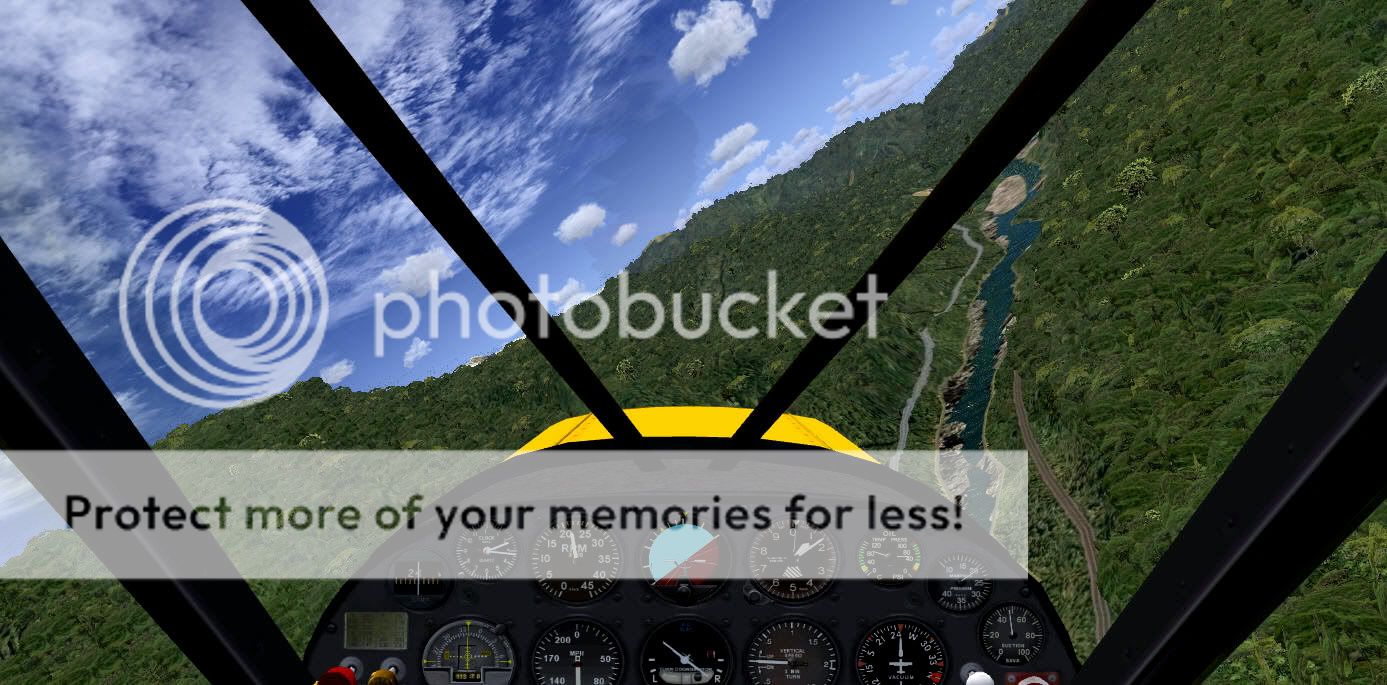
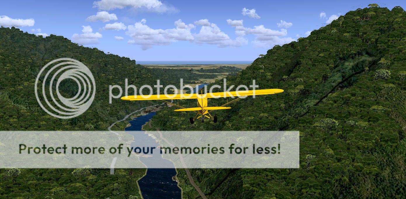
Heading into the Buller Gorge.


Looking up the Maruia River towards Ariki, Glengarry and the Shenandoah.


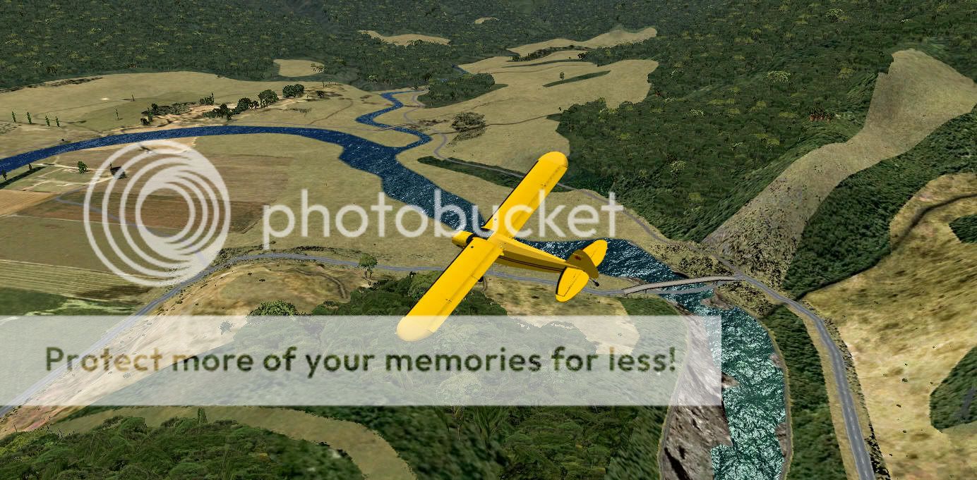
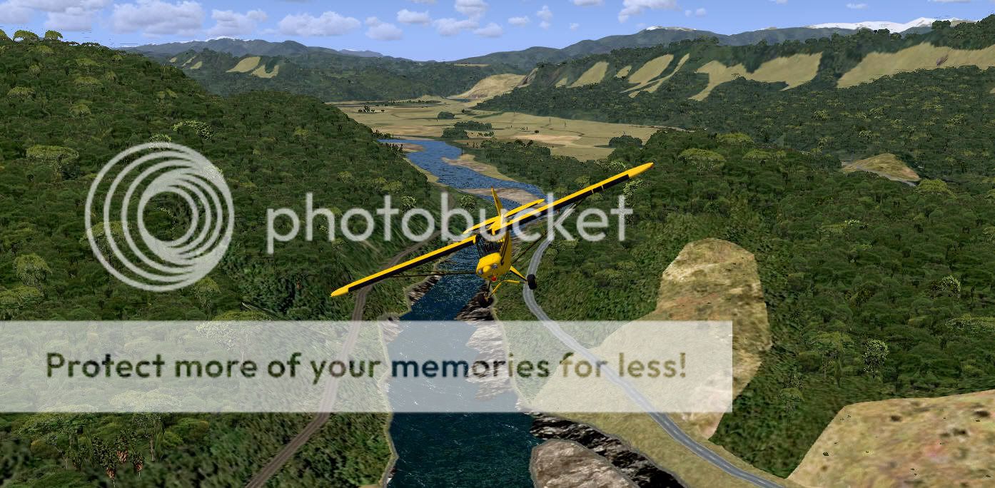
The Iron Bridge and New Creek.


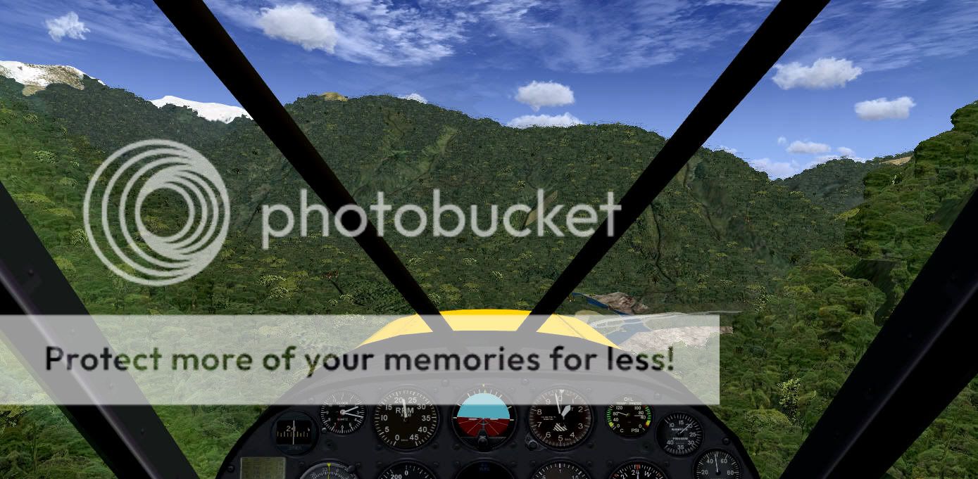
Inagahua looking toward Reefton.


Passing over Berlins.


Dropped down to 1000ft as I wind my way through the Lower Buller Gorge


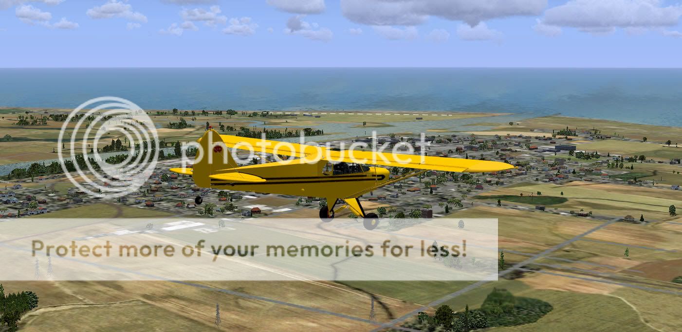
The exit is in sight with Westport ahead.


Looking back up the Gorge.


Finaly arriving at Westport.
Last edited by dbcunnz on Thu Oct 28, 2010 12:04 am, edited 1 time in total.
Image
OnlineUser avatar
dbcunnz
NZFF Pro
 
Topic author
Joined: Thu Feb 21, 2008 12:56 pm
Posts: 4009
Location: Blenheim New Zealand

Postby Ian Warren » Thu Oct 28, 2010 12:11 am

Come on Doug , you must be really live in this VLC .. how come no real world weather , to Navigate this bush area in a Cub cool.gif
Image
User avatar
Ian Warren
NZFF Pro
 
Joined: Fri May 05, 2006 5:23 pm
Posts: 41187
Location: AREA 51

Postby dbcunnz » Thu Oct 28, 2010 12:16 am

Ian Warren wrote:
QUOTE (Ian Warren @ Oct 28 2010, 01:11 AM) <{POST_SNAPBACK}>
Come on Doug , you must be really live in this VLC .. how come no real world weather , to Navigate this bush area in a Cub cool.gif

Rex real weather was giving me real darnation weather not suitable for low flying down the Gorge so turned it off.
Image
OnlineUser avatar
dbcunnz
NZFF Pro
 
Topic author
Joined: Thu Feb 21, 2008 12:56 pm
Posts: 4009
Location: Blenheim New Zealand

Postby Adamski » Thu Oct 28, 2010 2:44 am

dbcunnz wrote:
QUOTE (dbcunnz @ Oct 28 2010, 12:16 AM) <{POST_SNAPBACK}>
Rex real weather was giving me real darnation weather not suitable for low flying down the Gorge so turned it off.

Har har!!! Great sequence all the same, Doug. Some pretty weird placenames ... Shenandoah, Berlin(s), Glengarry ... I've heard about economic globalisation ... but not *geographic* laugh.gif!
Image
User avatar
Adamski
NZFF Pro
 
Joined: Thu Nov 01, 2007 2:22 am
Posts: 5029
Location: Birkenhead, Auckland

Postby Splitpin » Thu Oct 28, 2010 9:20 pm

Great trip mr moon tongue.gif ....Doug , beautiful set.. clapping.gif ..the cub really fits into that area well.
I love that #5 shot thumbup1.gif
User avatar
Splitpin
NZFF Pro
 
Joined: Mon Aug 03, 2009 12:15 pm
Posts: 21333
Location: Christchurch NZ

Postby deaneb » Thu Oct 28, 2010 10:36 pm

Great screens Doug. What water textures are you using? I reloaded FSX when I installed VLC and I've gone back to default which are far too light for my liking.
Image
User avatar
deaneb
Senior Member
 
Joined: Sat Aug 12, 2006 4:40 pm
Posts: 1561
Location: Blenheim

Postby dbcunnz » Fri Oct 29, 2010 4:21 pm

deaneb wrote:
QUOTE (deaneb @ Oct 28 2010, 11:36 PM) <{POST_SNAPBACK}>
Great screens Doug. What water textures are you using? I reloaded FSX when I installed VLC and I've gone back to default which are far too light for my liking.

Hi Deane I am using REX themes for water textures but had the REX real world weather turned off as it was giving me rain and low visability unsuitable for any low flying in confined airspace like in the Buller Gorge where you haven't got any room for errors.
I definitely recommend fine weather with not much wind to anyone who wants to do a low level flight following the Buller River from Lake Rotoiti to the sea at Westport also it helps if you know the Buller Gorge.
Back in the 1950's I worked at Inangahua and also for TNL based at Murchison and carted freight and Coal through the Buller gorge for a few years and got to know it very well.

Thanks guys for all your comments.

Doug
Image
OnlineUser avatar
dbcunnz
NZFF Pro
 
Topic author
Joined: Thu Feb 21, 2008 12:56 pm
Posts: 4009
Location: Blenheim New Zealand

Postby hoki1185 » Fri Oct 29, 2010 4:26 pm

How did you get on wit the power lines draped across and adjacent to the river?
hoki1185
Forum Addict
 
Joined: Thu Aug 14, 2008 3:32 pm
Posts: 236

Postby dbcunnz » Fri Oct 29, 2010 4:43 pm

hoki1185 wrote:
QUOTE (hoki1185 @ Oct 29 2010, 05:26 PM) <{POST_SNAPBACK}>
How did you get on wit the power lines draped across and adjacent to the river?

I didn't go down to 1000ft until I got down to Berlins so was high enough to pass over the lines at white bluff just past Inangahua I actually worked on the towers at the white bluffs for the then State Hydro when they put the lines through from Mawheraiti to the Denniston mine.

Doug
Image
OnlineUser avatar
dbcunnz
NZFF Pro
 
Topic author
Joined: Thu Feb 21, 2008 12:56 pm
Posts: 4009
Location: Blenheim New Zealand


Return to Screenshots

Who is online

Users browsing this forum: No registered users and 7 guests